Almost Heaven: The Long Way to West Virginia
Every year I look forward to camping with my friends from TheRangerStation.com (TRS), whether it’s a TRS-sponsored event or a Vagabond event. When Eric (Curious Hound) said he was hosting a TRS Fall Colors Campout in October in Fayetteville, WV, near New River Gorge, I knew it would be my only chance to camp with these guys this year. I also knew it was going to be an 1,100-mile trip to get there.
Robbie lives near Nashville, TN, so I figured I could break up the drive by meeting him along the way. The plan was to meet Robbie in Tennessee, camp for the night, and then make the trip from Tennessee to West Virginia its own little adventure. I asked Kevin (Snoranger) if he was going to the campout and told him what Robbie and I were planning. He decided to come out two days early and join us for the trip.
The initial plan was to run 16 Creek Road on the Kentucky Adventure Tour (KAT), north of Middlesboro, Kentucky, and then follow the KAT east through Kentucky toward Virginia. We’d already done most of the KAT from Slade, Kentucky, to Cumberland Falls. We decided to camp at the Wilderness Road Campground in Cumberland Gap National Historical Park since it was close to the KAT. From there, we could head north to 16 Creek, then follow the KAT back south and through the gap to the east.
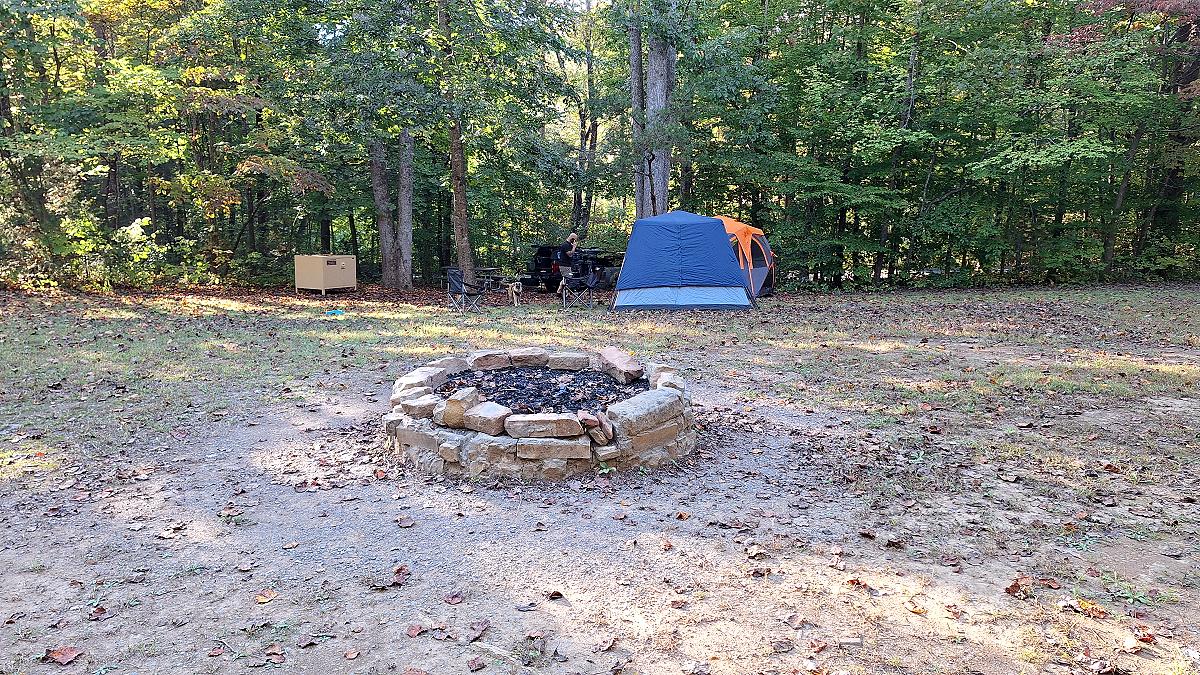
The campsites were $18 each and allowed up to eight people and two vehicles. The group sites were only $39 and could hold twenty-five people, but you needed at least twelve people to reserve one. I reserved two sites for Tuesday, October 6, along the edge of the group camping area for me, Robbie, and Kevin. That put us next to a bathhouse, with a big open area behind us where we could let the dog play. Since nobody was using the group site, we could also use its firepit. 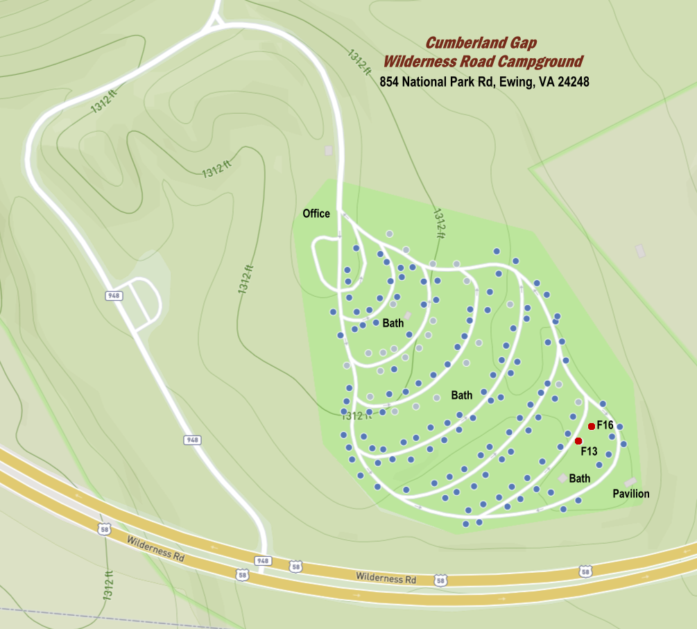 When we arrived at the campground, a big yellow sign greeted us with a warning that bears were active in the park.
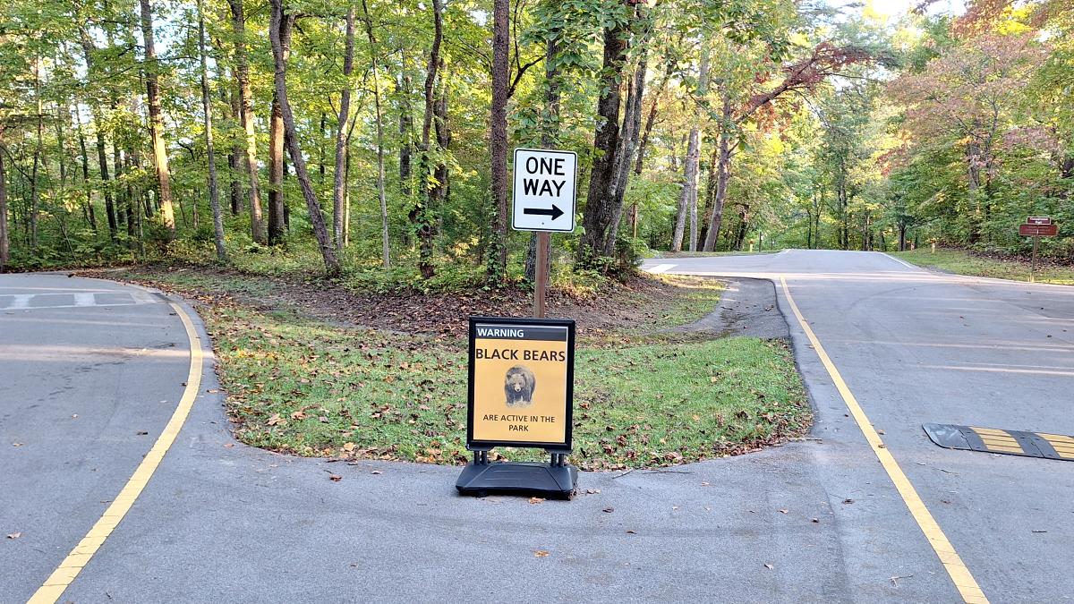
The warning didn’t end there. Each campsite had a flyer with ‘BearWise Vacation Tips‘ on one side and ‘How to Be a BearWise Guest‘ on the other. Spoiler alert: DO NOT play dead. Fight back. The flyers came from BearWise.org. While checking out their website, I also found a BearWise Bulletin For Dogs. I really liked Wilderness Road Campground. It’s heavily wooded, which gives you a little separation from the other campers. The campground roads are paved, but the individual sites have gravel drives. Each site also has a large metal food locker for your food, so the bears aren’t tempted to get into your vehicle or camping gear.
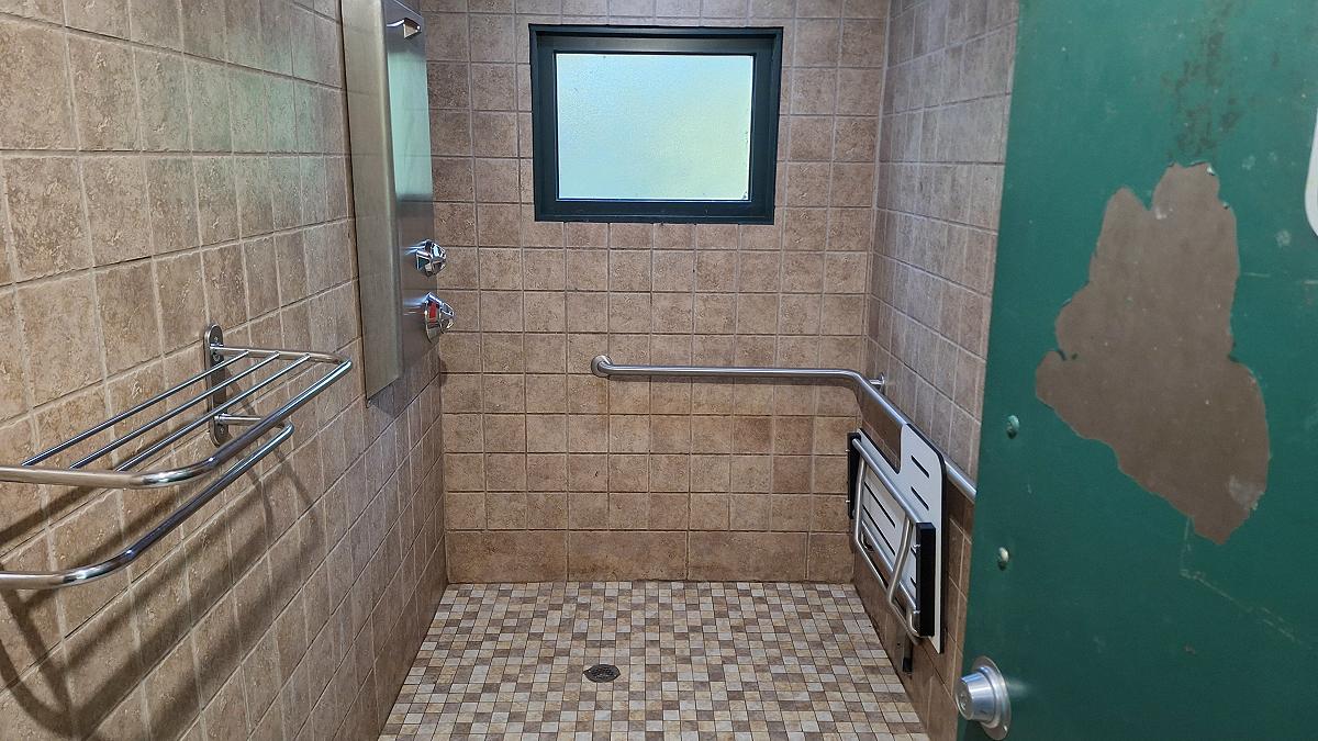
There were three bathhouses in the campground. The showers were so nice that I felt like I needed to take a photo to show people. They’re much nicer than what I usually expect at a campground, where the showers tend to have concrete floors and cinderblock walls. These had tile floors and walls, plus a bench that folded down so you could sit.
Robbie had a chance to do the 16 Creek Road trail just prior to our trip, so we decided to skip 16 Creek and do something different. A lot of overlanders look for remote places and try to get as far away from pavement as possible. I had a different destination in mind: I wanted to find a U.S. highway that no longer existed.
The Cumberland Gap has meant different things to different people. For some, it was a gateway to the West and to places they had never seen. For me, it was a gateway to Virginia. My parents were born and raised in Southwest Virginia. My ancestors came to Virginia from England, then eventually traveled down the Great Valley Road to Tennessee before heading back north on the Wilderness Road and settling in Lee County, Virginia.
When I was growing up in the 1970s and ’80s, most of my family lived in Ohio, but I still had a grandmother, an uncle, and cousins in Lee County. Every year we’d make the long drive from Ohio to visit my grandmother, and I still have vivid memories of crossing the gap.
Two things stand out in my memories of crossing the Cumberland Gap: Cudjo’s Cave and the Virginia and Tennessee signs near US 58.
Cudjo’s Cave was a tourist attraction back then. The office and gift shop were in a log cabin on one side of the road, and the cave entrance was on the other. The National Park Service eventually bought the cave, which is now called Gap Cave.
At the intersection with US 58, there was a Welcome to Tennessee sign on the south side. Turning left onto US 58, you’d see a large black sign with white letters warning that speed was checked by RADAR and that RADAR detectors were illegal. Seeing those signs meant we weren’t far from my grandmother’s house.
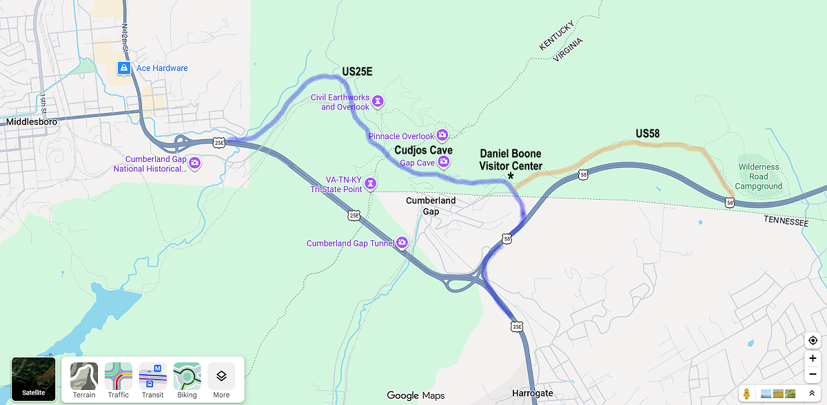
When the Cumberland Gap Tunnel opened in 1996, the old US 25E crossing over the gap was completely removed. It wasn’t just closed or left to decay. The Park Service pulled up the asphalt and reshaped the land to resemble the Wilderness Road as it looked in the 1780s. The map below shows the old route of US 25E over the gap in blue and the route of US 58 in orange, before the tunnel was built.
Wednesday morning, we packed up camp and headed to the Daniel Boone Visitor Center. From there, we could hike the Wilderness Road Trail to Gap Cave and see for ourselves how the old US 25E had been removed and the land reshaped. Below is a photo showing the lower entrance to Cudjo’s Cave, the path to the upper cave entrance, and the gift shop across the street.
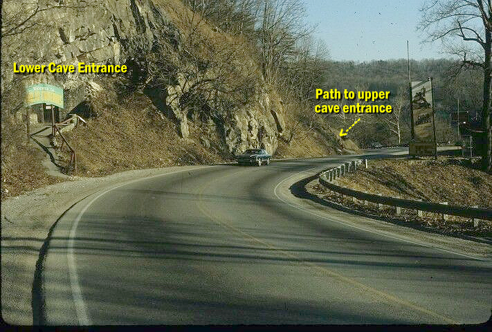
Here’s a closer look at the lower entrance:
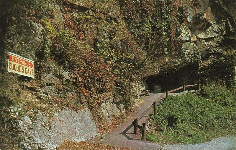
Here’s the lower entrance to the Gap Cave after the restoration and before the trees. US 25E would have been down in the green grassy area to the left, but that area has been completely dug up and recontoured.
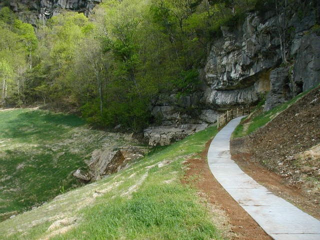
Here’s that lower entrance today in 2026:
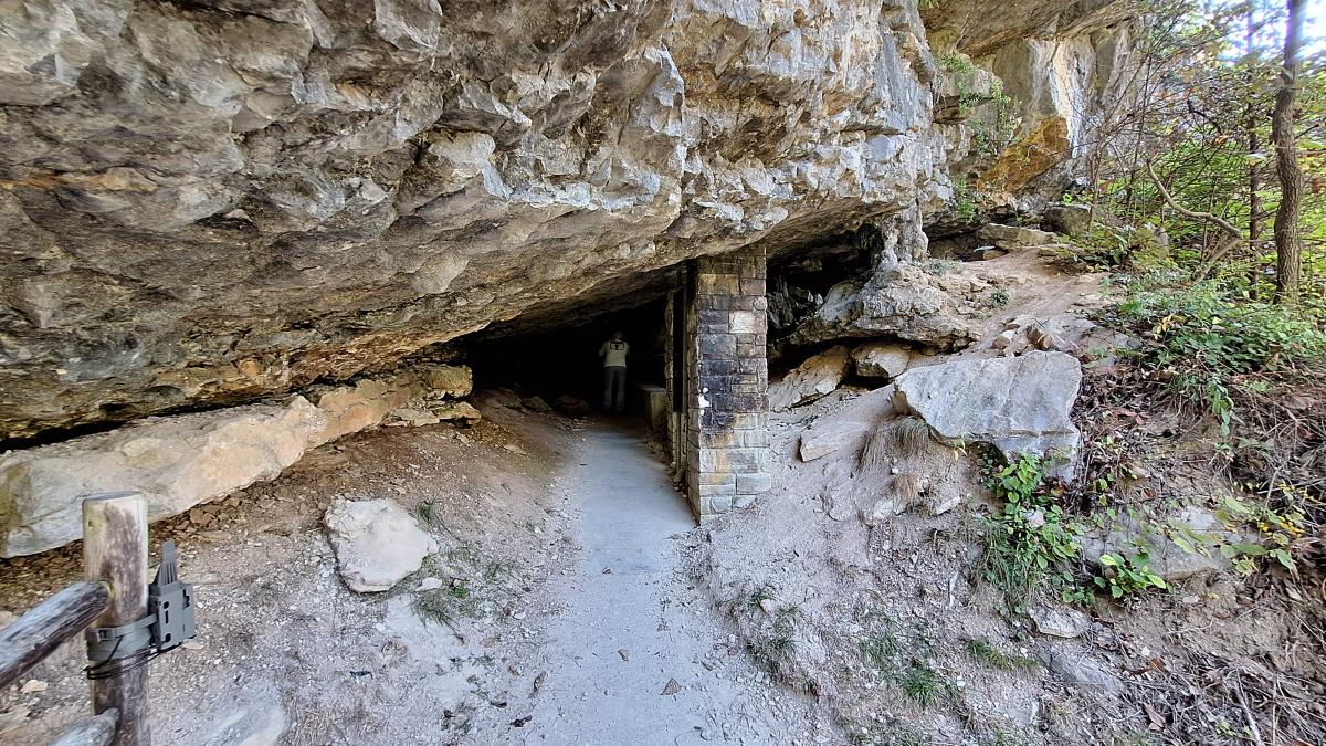
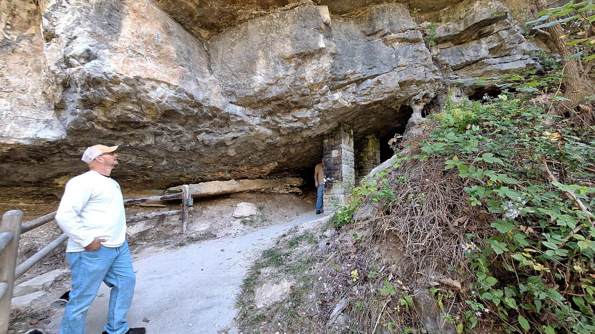
This is looking back down the trail from the lower entrance toward the path to the upper entrance. Thirty years ago, this spot would have been alongside US 25E. 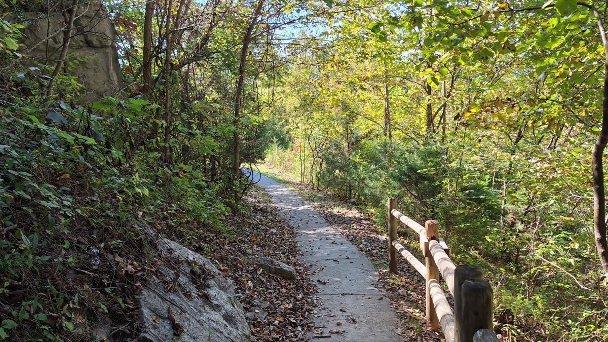 Here’s the upper entrance to Gap Cave (Cudjo’s Cave) today in 2026.
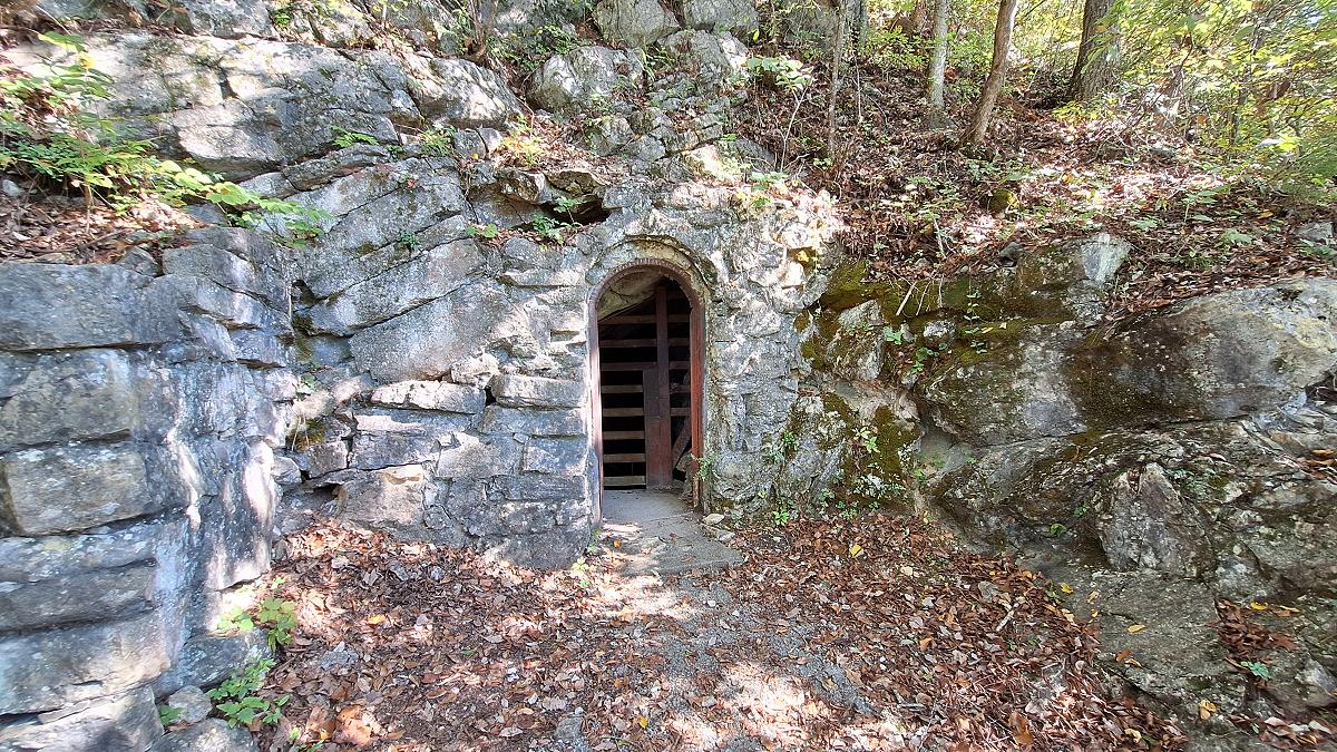
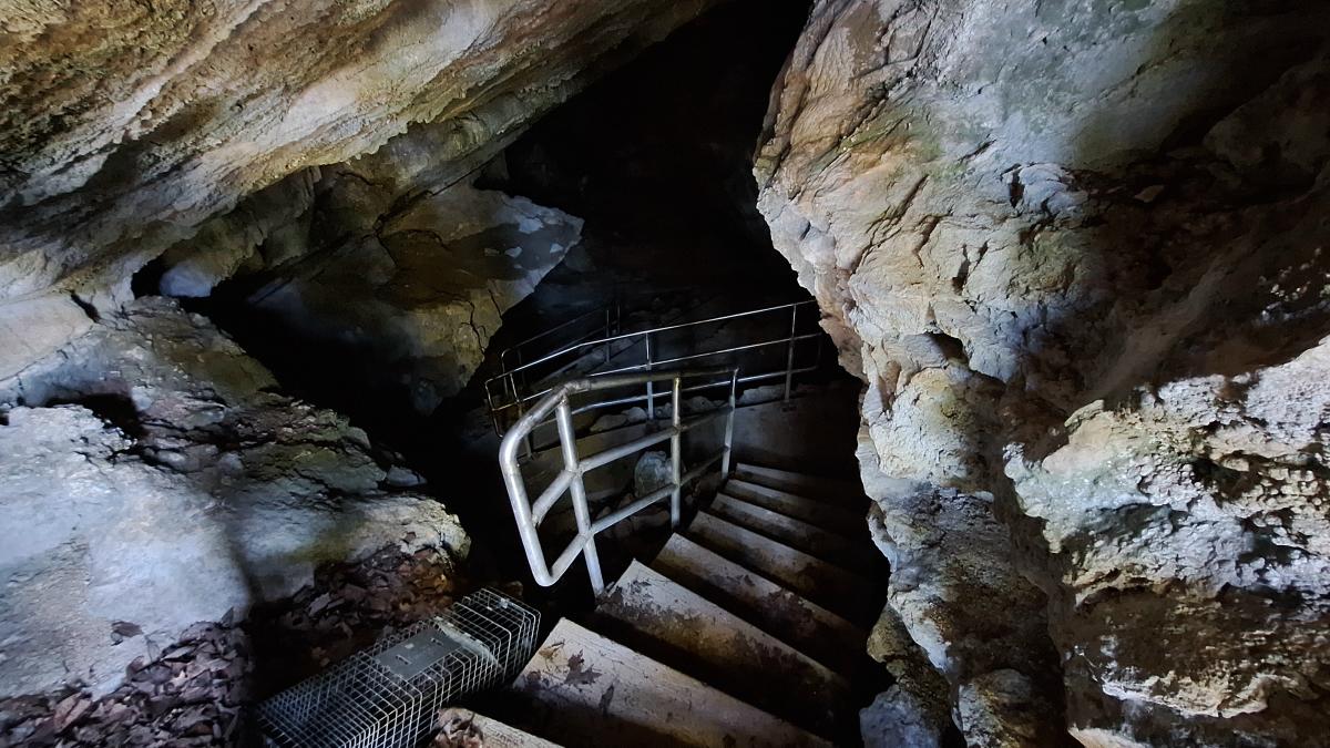
Here’s a look inside the cave through the metal gate. You have to make a reservation with the park service to tour the cave.
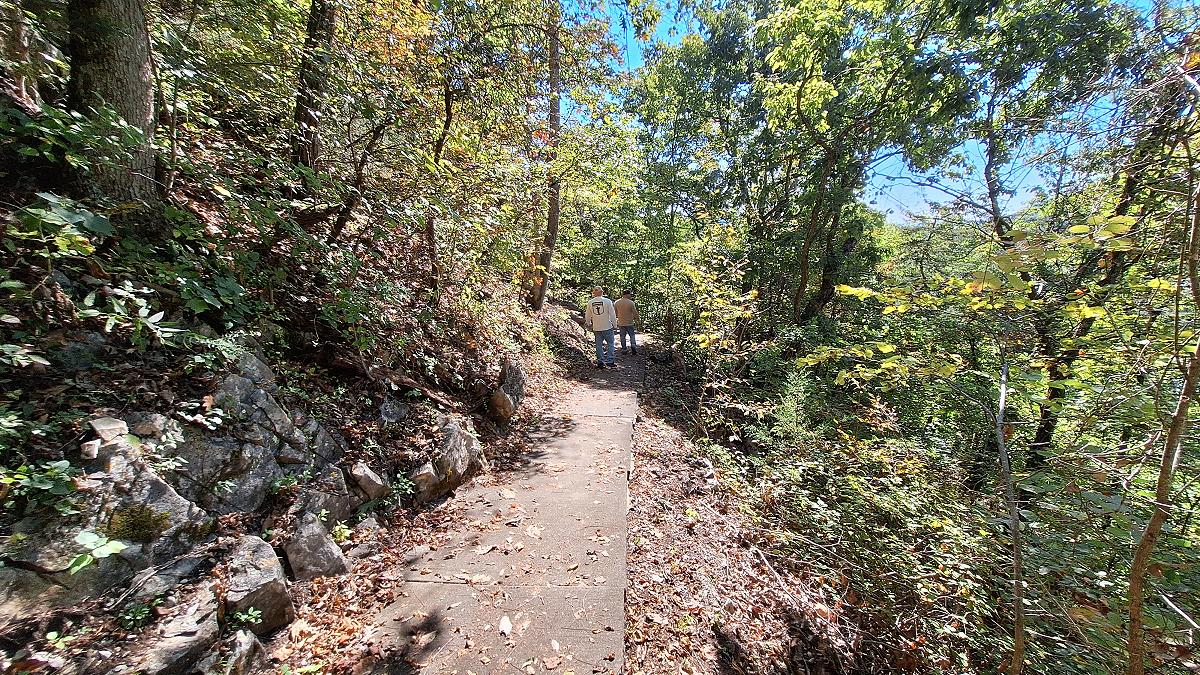
Here’s a look at the walkway to the upper entrance. While the trails in the park are dirt and gravel, the paths that lead to the cave entrances are concrete.
Below is the old US Highway 25E.
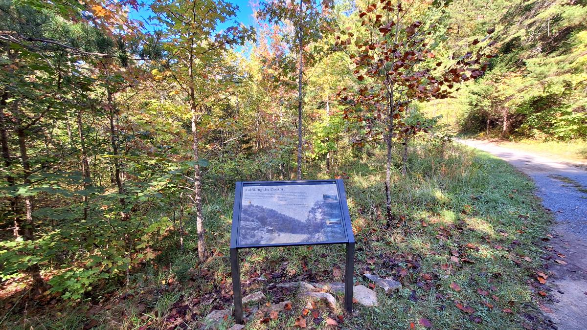
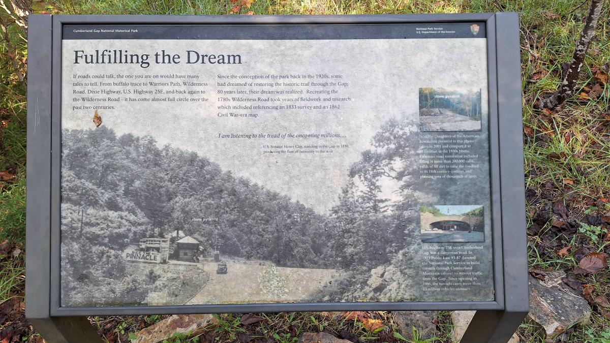
The sign above reads
Fulfilling the Dream
If roads could talk, the one you are on would have many tales to tell. From buffalo trace to Warriors path, Wilderness Road, Dixie Highway, U.S. Highway 25E, and back again to the Wilderness Road – it has come almost full circle over the past two centuries.
Since the conception of the park back in the 1920s, some had dreamed of restoring the historic trail through the gap; 80 years later, their dream was realized. Recreating the 1780s Wilderness Road took years of fieldwork and research which included referencing an 1833 survey and an 1862 Civil War-era map.
I am listening to the tread of oncoming millions… – U.S. Senator Henry Clay, standing in the Gap in 1850, predicting the flow of humanity to the west.
Note the Daughters of the American Revolution pyramid in this photo taken in 2001 and compare it to its location in the 1930s photo. Extensive road restoration included filing in more than 2000,000 cubic yards of fill dirt to raise the roadbed to its 18th century contour, and planting tens of thousands of trees.
U.S. Highway 25E over Cumberland Gap was a dangerous road. In 1973 Public Law 93-87 directed the National Park Service to build tunnels through Cumberland Mountain (above) to remove traffic from the Gap. Since opening in 1996, the tunnels carry more than 11 million vehicles annually.
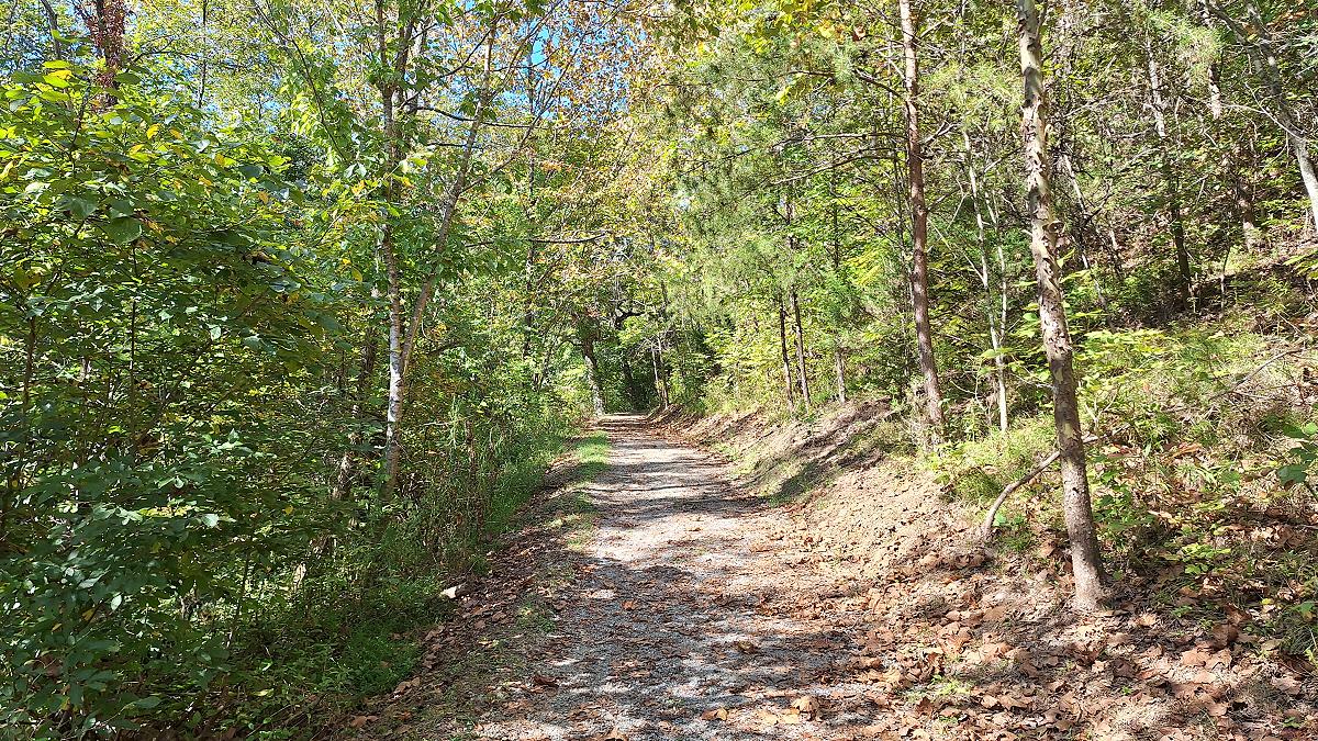
Looking at this trail, it’s hard to imagine it was once a U.S. highway with so many fatal crashes that the road was nicknamed Massacre Mountain.
To see photos of US 25E before it was completely removed check out: Old US25E Crossing the Cumberland Gap
To see photos of the process of restoring the gap check out: Cumberland Gap Tunnel – US 25E: Photos
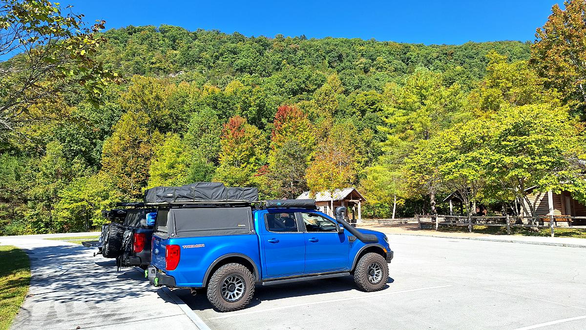
After walking the Wilderness Road Trail and visiting Gap Cave, we returned to the visitor center parking lot and had lunch. It’s hard to believe that this parking lot was once the intersection of US 25E and US 58. This was where I’d see the Welcome to Tennessee sign ahead of me, then turn left (east) and pass the sign warning that radar detectors were illegal. It’s a beautiful area and a great place to explore, but I couldn’t shake the feeling that a part of my life had been erased, as if it had never existed.
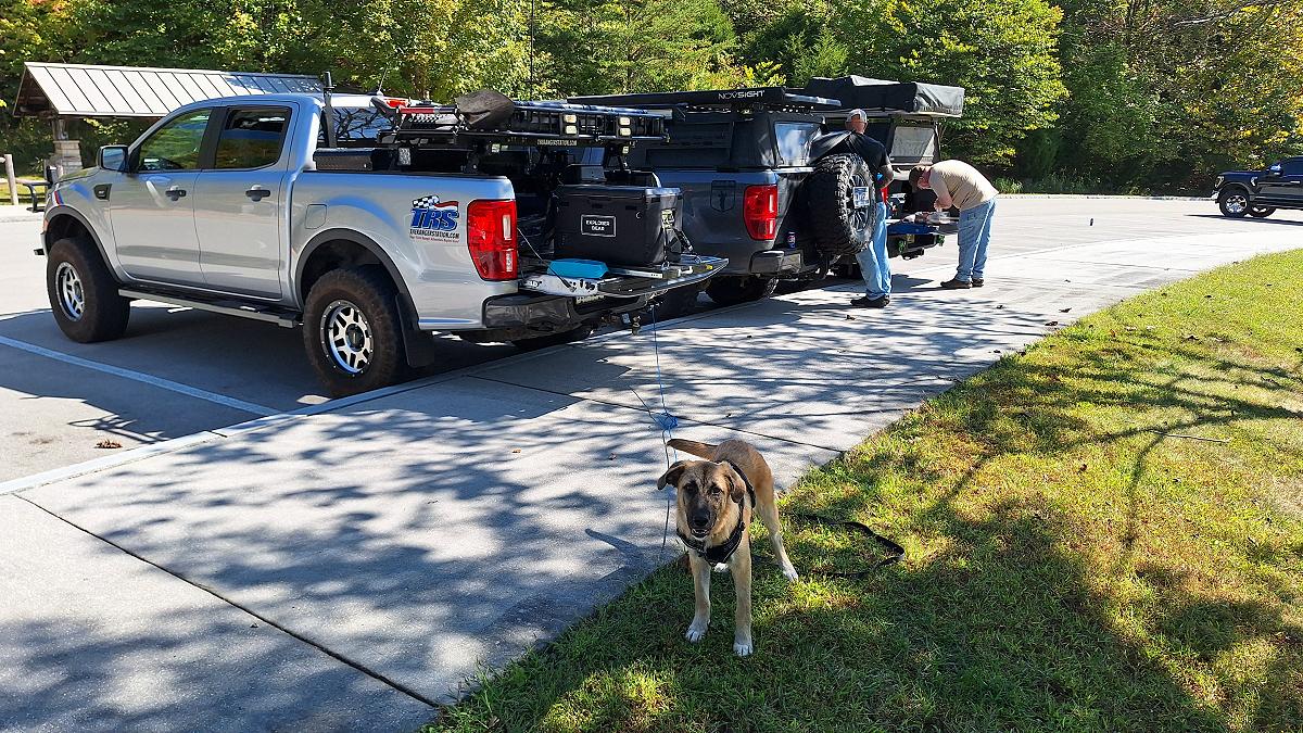
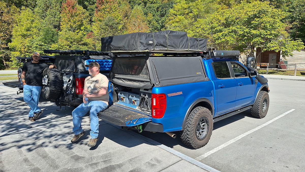
After spending some time with those old memories and having lunch, it was time to get back on the road. We drove through the Cumberland Tunnel and then headed up the mountain to Pinnacle Overlook. It’s well above Gap Cave and gives you a view down over Cumberland Gap. You can see the tunnel exit into Virginia on one side and Middlesboro off in the distance on the other.
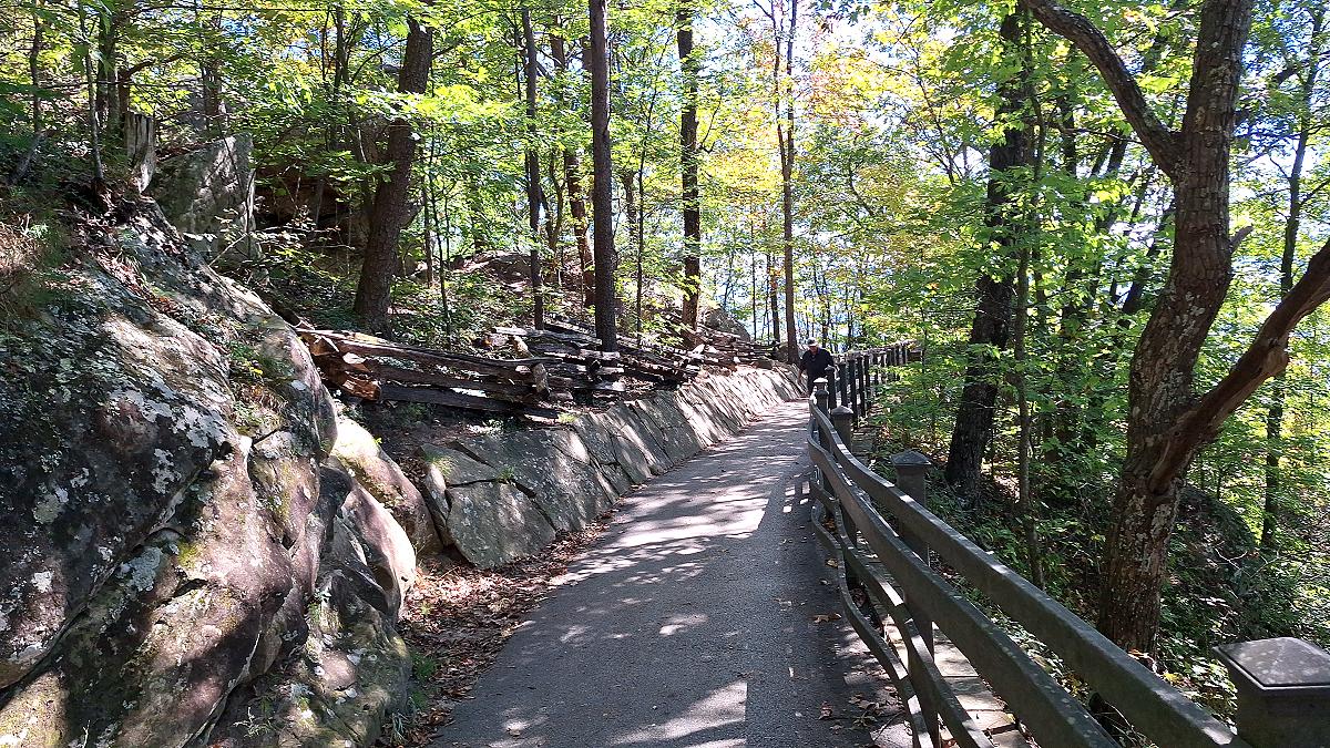
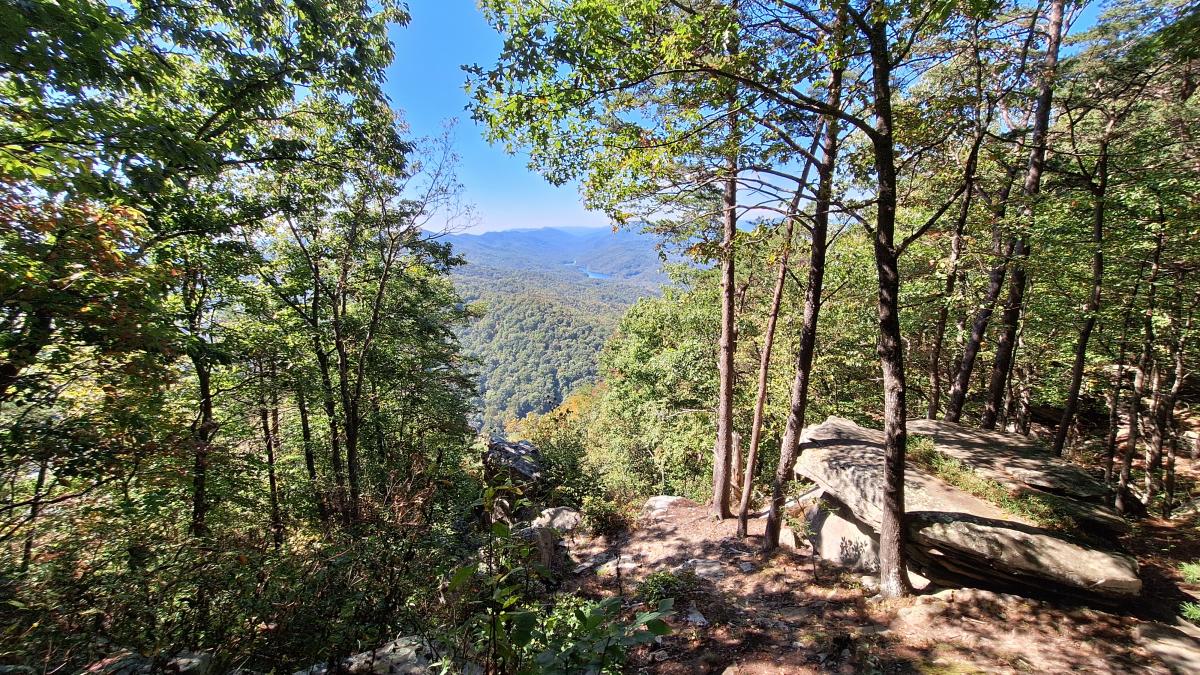
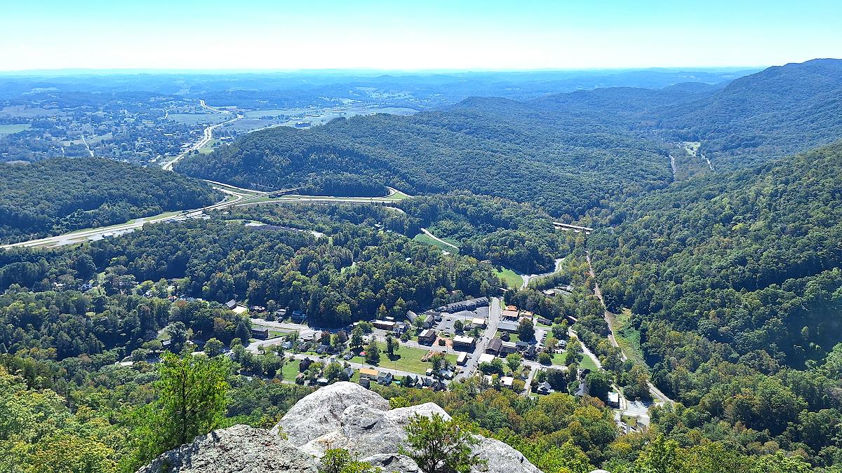
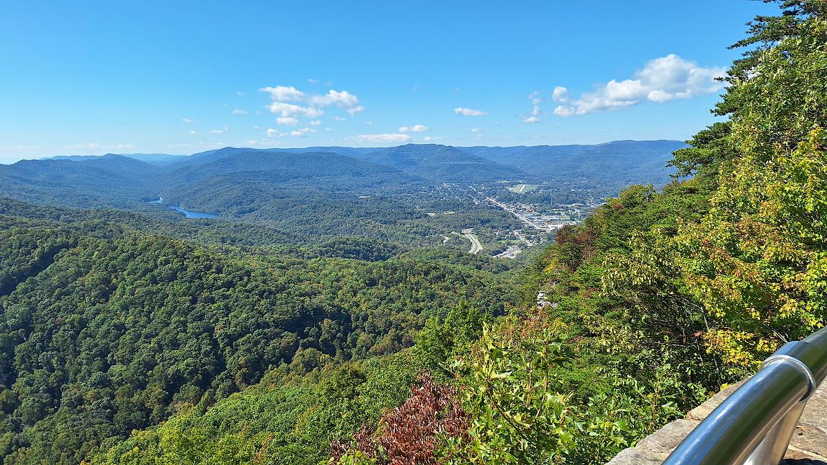
After leaving Pinnacle Overlook, we drove back down the mountain and picked up Sugar Run Overlook Road near the entrance to the Thomas Walker parking area. That road is part of the Kentucky Adventure Tour, so we were back on the KAT. This part of the route is mostly a two-lane paved road running parallel to US 58, but on the Kentucky side of the mountain. At one point, it passes behind my grandparents’ farm in Virginia, with a ridge between us and the farm. I’d always wondered what was on the other side of that mountain. There wasn’t a whole lot to see along this stretch, but we did stop at Martins Fork Lake.
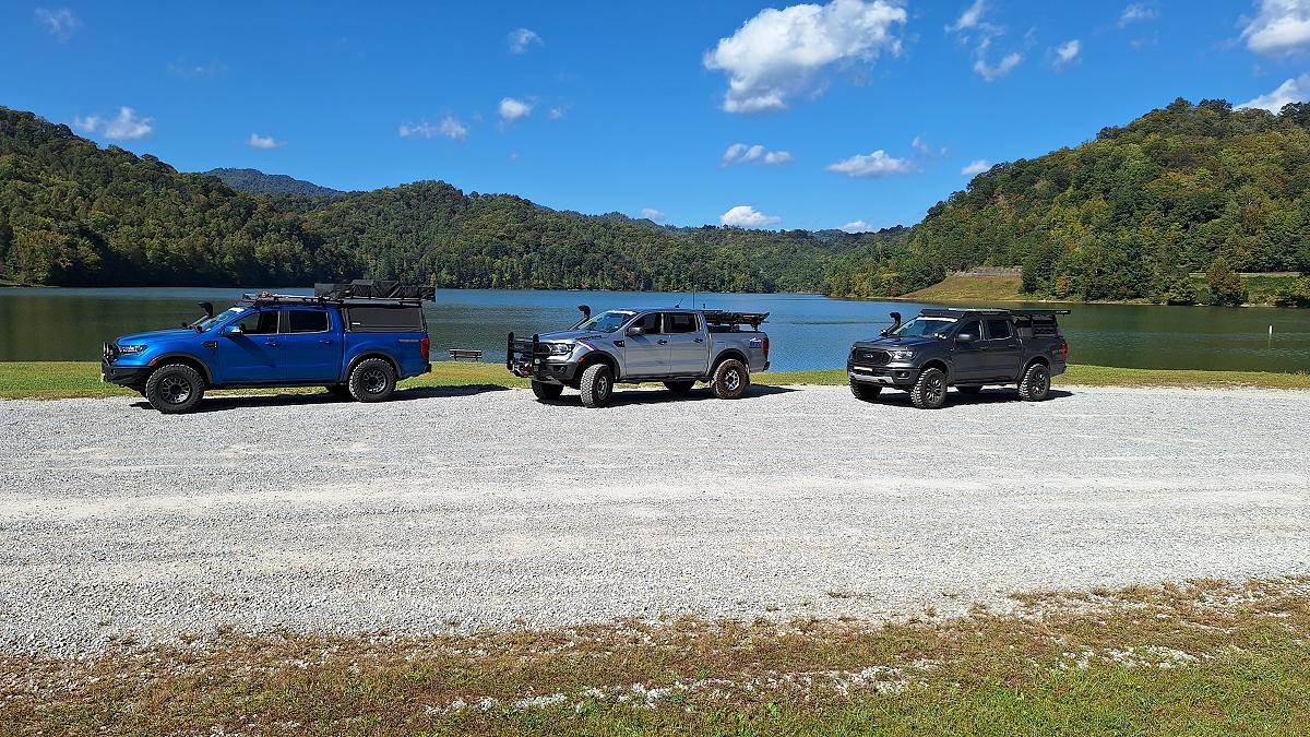
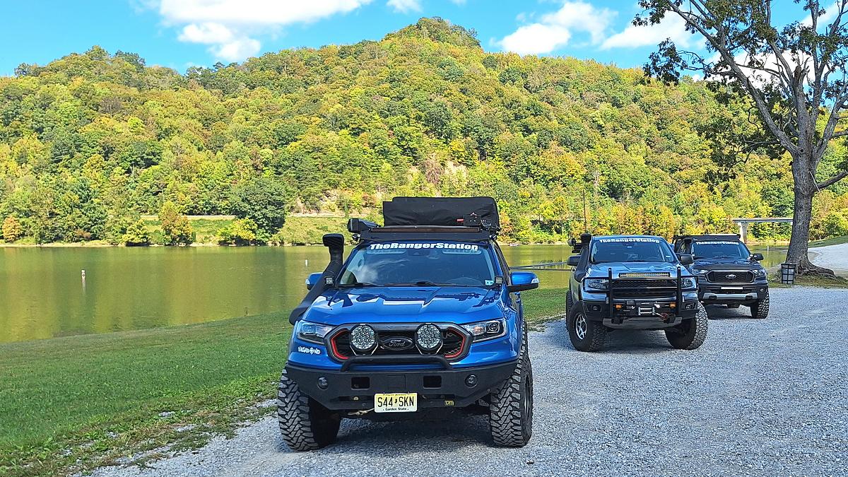
Just west of the lake, the KAT turns off onto a trail that looked barely passable in a side-by-side. We tried it for a short distance, but the low-hanging branches forced us to turn around. We continued past Martins Fork Lake and rejoined the KAT just before Cawood.
Most of the KAT we drove was paved, with a few gravel sections mixed in. There wasn’t much along those stretches that seemed worth stopping to photograph.
One exception was the long gravel section known as Little Shepherd Trail, which crosses Kentenia State Forest. Goss Park is along the trail, across from the road to Putney Lookout Tower. There was no sign for the park, though I think there was one for the tower. We stopped to look around. I checked out the road to the tower while Robbie and Kevin went up the road toward Goss Park. At the time, we had no idea what Goss Park was or that it had once been a park. The guys found a small foundation up the hill, but said there weren’t any good views and it wasn’t worth the walk, so I didn’t go up myself. There was also an old drinking fountain near the road. We couldn’t figure out why it was there and speculated about what it had been used for.
It wasn’t until I got home and did some searching that I learned what the place actually was. I found out that Goss Park had been developed as a mountaintop picnic area and primitive campground after the old fire-watch system gave way to aircraft in the 1960s and ’70s. For years, people came up here to picnic and camp on Pine Mountain and take in the views to the north. The park has since been closed, and with little maintenance the facilities were vandalized and left to deteriorate. That explained the old fountain and the remains we had seen, though I wish I’d taken the time to walk up there myself.
I didn’t realize until later that Goss Park was a notable stop along this section of the KAT. We pretty much skipped it. I should have walked up there myself; I probably would have recognized it from videos I’d seen online.
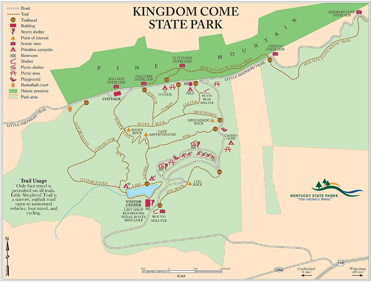
Kevin was down to a quarter tank of gas, so we skipped the second half of the trail, dropped down to US 119, and followed it into Cumberland, Kentucky. After filling up, we headed to Kingdom Come State Park to camp for the night.
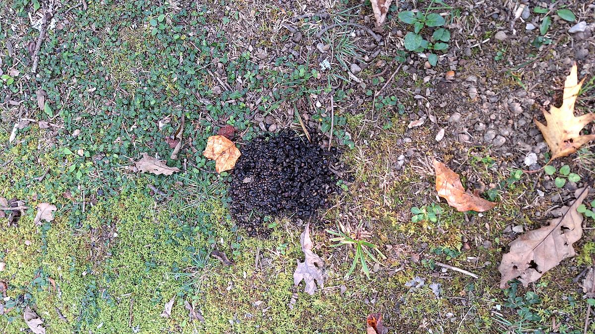
When we registered at the park office, the employee told us a mother bear and her cubs came out in the evenings to check the trash cans for food. She didn’t seem too concerned and said they wouldn’t bother us; we just needed to keep our food in our vehicles. Had she never heard the stories about mother bears protecting their cubs? I joked that we’d put all our food in Robbie’s truck since it had the most scratches. When we got to our campsite there were signs of bear scat everywhere.
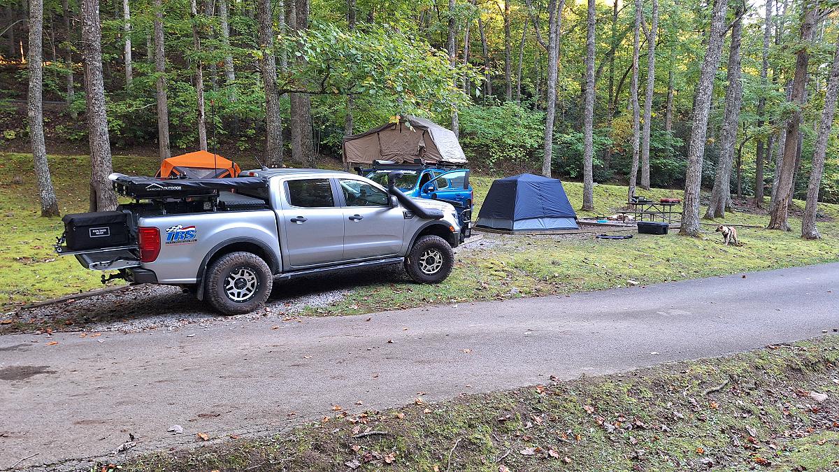
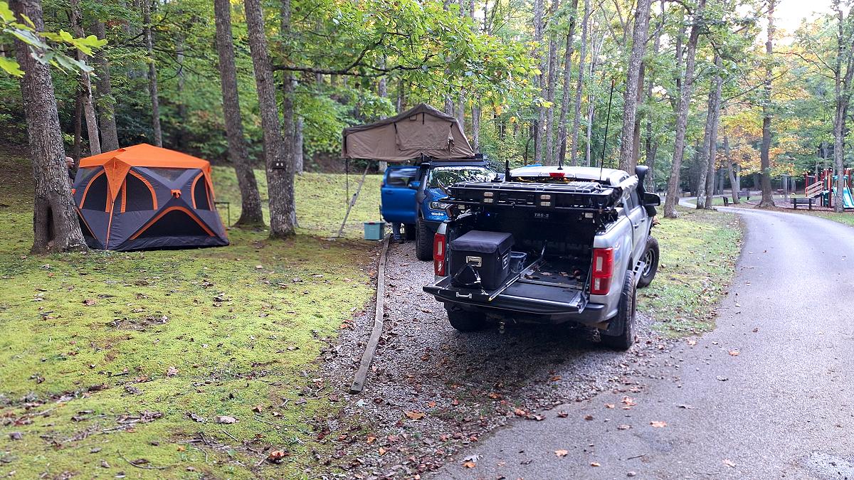
A couple walking by asked if we’d seen the bears. They said the bears were everywhere. We hadn’t seen any, and we wouldn’t see a single bear on the entire trip. It was a nice campground with good sites, but the restrooms were out of order. If we’d had more time, I would have checked out the miniature golf or pedal boats.
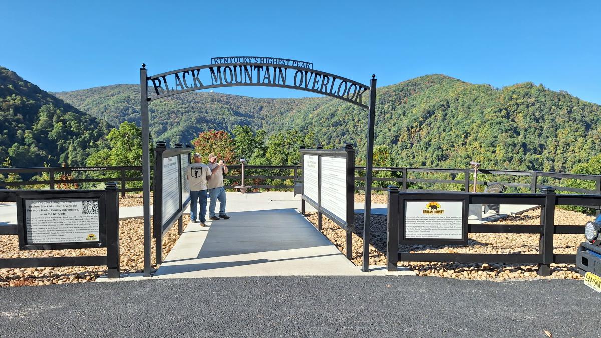
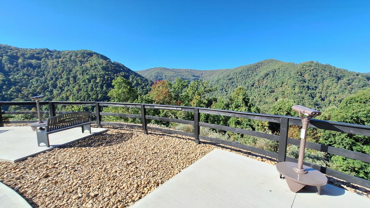
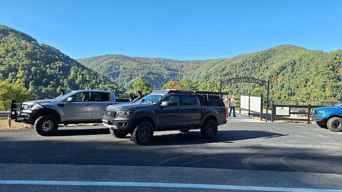
Thursday morning, we packed up and headed for Big Stone Gap, Virginia. The KAT runs through this area, but I had something else I wanted to see. On the way across the mountain from Kentucky into Virginia, we stopped at Black Mountain Overlook. From here you can see Black Mountain, the highest point in Kentucky, along with the weather radar tower on the mountain.
Continuing south toward Big Stone Gap, we passed through Inman. My grandfather was a coal miner, and my grandparents, aunts, and uncles lived here back when it was a coal camp. I’d heard my aunt talk about my grandfather being paid in scrip.
Coal scrip was money issued by mining companies to pay their workers. Instead of regular cash, miners might receive metal tokens or paper coupons that could only be spent at the company store. Those stores often charged high prices, which made it difficult for miners to get ahead. It was one more way the mining companies kept workers tied to the company and the town.
My uncle and cousin later worked these same mountains at Westmoreland’s Bullitt Mine, just west of Appalachia.
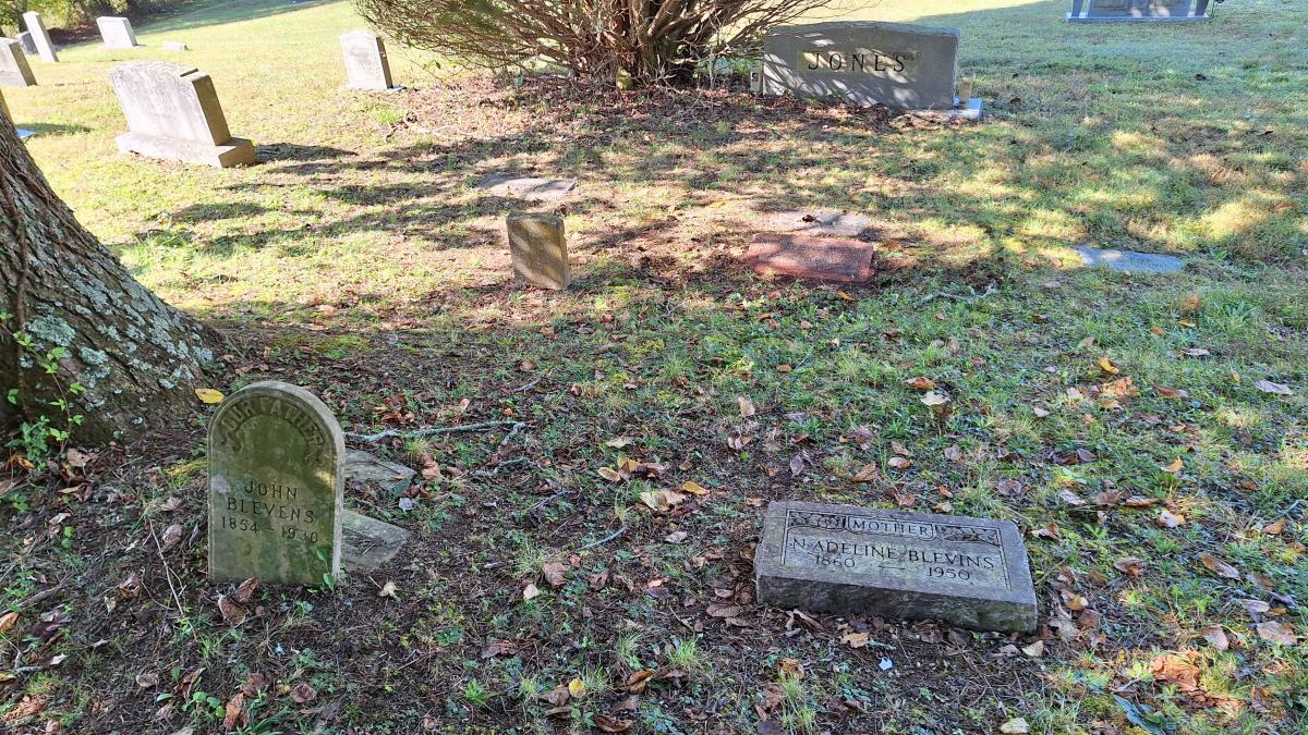
My grandfather died in 1958, long before I was born. I never knew him, and nobody talked much about him or where he was buried. My grandmother was buried in her family’s cemetery, and I knew he wasn’t there. While researching our family history, I found that he was buried in a cemetery in Big Stone Gap. I mentioned it to the guys, and they were willing to stop and help me find his grave. Just before this trip, I also discovered that my great-grandparents were buried there. It didn’t take long to find my grandfather’s grave. What made it even better was discovering that my grandfather, great-grandparents, and an aunt were all buried together under a tree. I’d gone from wondering where he was buried, and whether he was there by himself, to finding out he’d been laid to rest beside his parents and his daughter, who died when she was only a year or two old.
From there, we needed to get to Fayetteville, West Virginia. The Fall Colors Campout ran Thursday through Sunday, and we wanted to arrive in the early evening while we still had daylight to set up camp. I set the GPS to avoid highways in hopes of getting a more scenic route. The drive itself was pretty uneventful, but we passed plenty of interesting roadside sights. Much of the route took us through small towns with little locally owned gas stations and stores. This wasn’t a route for anyone counting on finding a drive-through for lunch. Fortunately, we were self-sufficient and stopped at RD Bailey Lake for a picnic.
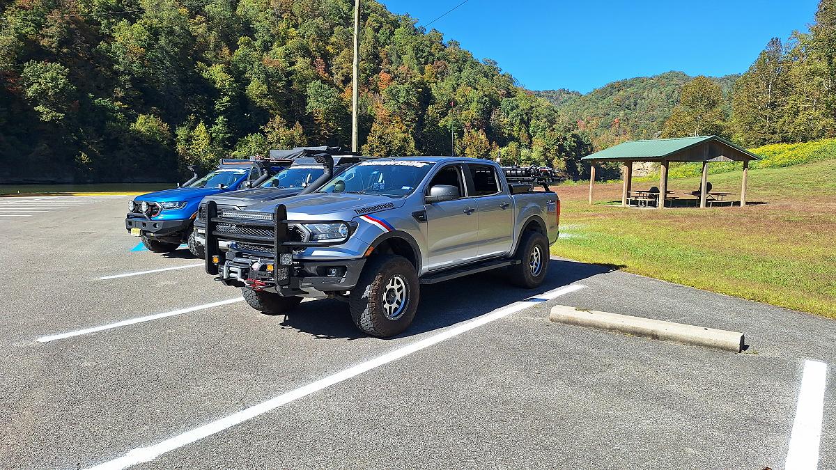
We finally made it to Fayetteville with enough daylight left to set up camp and make dinner. But getting there was only the first part of the trip. We still had the TRS Fall Colors Campout ahead of us, with more friends to meet up with and a weekend of camping ahead.
About The Author
Jim Oaks is the founder of TheRangerStation.com, the longest-running Ford Ranger resource online since 1999. With over 25 years of hands-on experience building and modifying Ford Rangers — including magazine-featured builds like Project Transformer — Jim has become one of the most trusted authorities in the Ford Ranger off-road and enthusiast space.
Since launching TheRangerStation.com, Jim has documented thousands of real-world Ranger builds, technical repairs, drivetrain swaps, suspension modifications, and off-road adventures contributed by owners worldwide. TheRangerStation.com has been referenced in print, video and online by enthusiasts, mechanics, and off-road builders looking for practical, and experience-based information.