Some pics from the 7 hour plane crash trail..
Kind of the beginning. The trail starts at the off-road track in Crandon and is forest service roads until the Michigan border.
Sign showing the dual purpose trail.
This was our camp site the first night. Perch Lake just outside Watersmeet, MI.
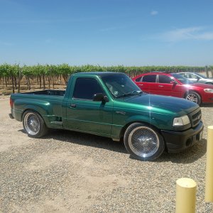
Both camped in the bed of our trucks.
The Rousseau Bar. I’ve only ever been here by snowmobile. It’s right down the road from the trail. We actually followed one of their vendors in a box van on the trail for a while.
Much further into the UP, somewhere around Houghton if I remember correctly. I don’t remember the name of this lake but it was actually really gross.
Finally made it to the tip of the Keewenaw. Lake Superior in the background. There is free camping at the very end of the trail but you won’t make it out there without some clearance. Actually met a couple from Alaska out there in a lifted sprinter van style camper (wish I would have grabbed a pic of that) . He watched us pull in and wanted to check out my truck.
Map of the peninsula. We had to do maybe 40 road miles total the entire trip.
And camp for the final night of the trip. We ended up drinking beer until sunrise with a local. The trip out later that day was terrible!
I have some video on my computer from the trail to the camping area at the end that I’ll try to get uploaded to YouTube. I would say you could do 65% of this in a car. The rest I would hesitate to do in a stock 4x4.