Morning in Camp – Meeting “Rooster”
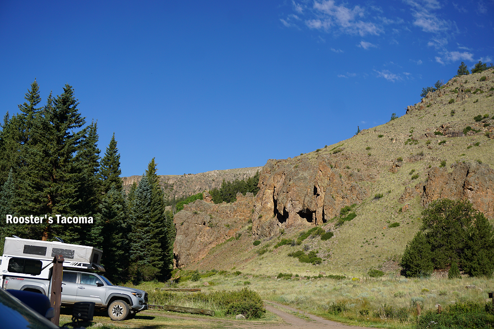
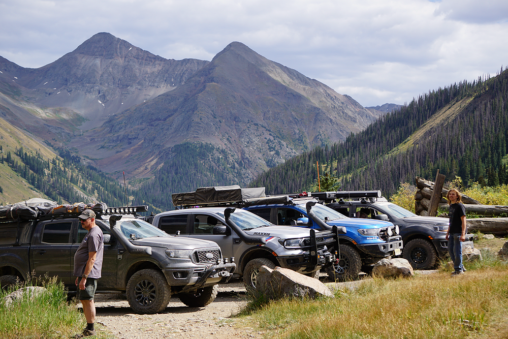
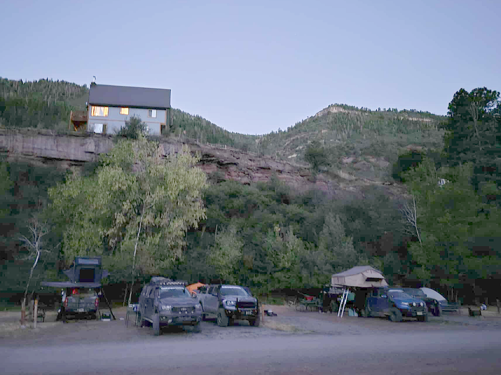
I was woken by loud voices from outside my tent. I went outside to see what was going on and saw Robbie had walked off with an older gentleman that was camping near us. The old guy, we’ll call him Rooster, saw that Robbie was up having his cup of coffee and wanted to make sure Robbie knew there was a burn ban in effect and to not start any fires. Rooster turned out to be a pretty interesting guy.
Rooster was a 67-year-old firefighter and said that on his time off he worked for the U.S. topographical department — checking road conditions, marking campsites, and making sure they weren’t illegally gated by ranchers. He said that he also volunteered with FEMA in disaster relief all around the world. He just got back from an earthquake in Asia somewhere. He also mentioned he was going to Nepal to do some ice climbing, which he said is what brought him to Colorado from his home in West Virginia.
Toward Lake City
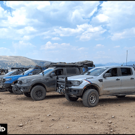
Today was going to be a big day and would be the day we traveled across Cinnamon Pass. We ate our breakfast, packed up our gear, and headed toward Lake City. There’s actually a campground and a great place to pull off for a photo where Cebolla Creek Road meets the Silver Thread Scenic Byway (149). While there we were approached by a woman that had a Sasquatch figurine and wanted to know if she could take a picture of it on one of our vehicles. She sticks it in photos from her trips for her children and grandchildren to find. Of course, we told her that she could.
From here we continued north to Lake City. Lake City is the county seat, the most populous community, and the only incorporated municipality in Hinsdale County, Colorado. The population was 432 at the 2020 census. Lake City is named after nearby Lake San Cristobal. This area lies at the southern end of the Colorado Mineral Belt, and when rich mineral deposits were discovered the town of Lake City was incorporated in 1873.
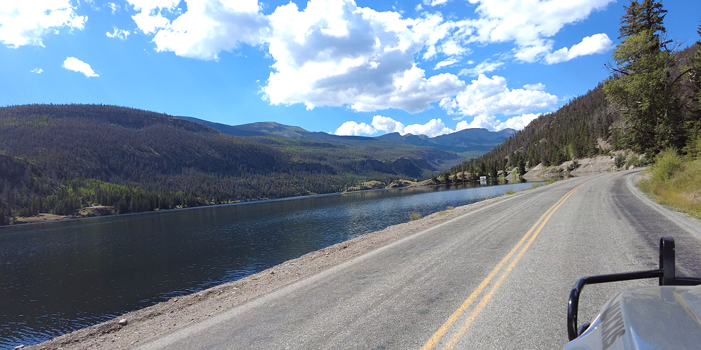
Lake San Cristobal
Lake San Cristobal sits at an elevation of 9,003 feet and is 2.1 miles long, up to 89 feet deep, has a surface area of 0.52 square miles, and holds about 11,000 acre-feet of water (3.5 billion gallons). The name San Cristóbal means Saint Christopher in the Spanish language. Lake San Cristobal was formed about 700 years ago when a natural landslide created a dam across the Lake Fork of the Gunnison River.
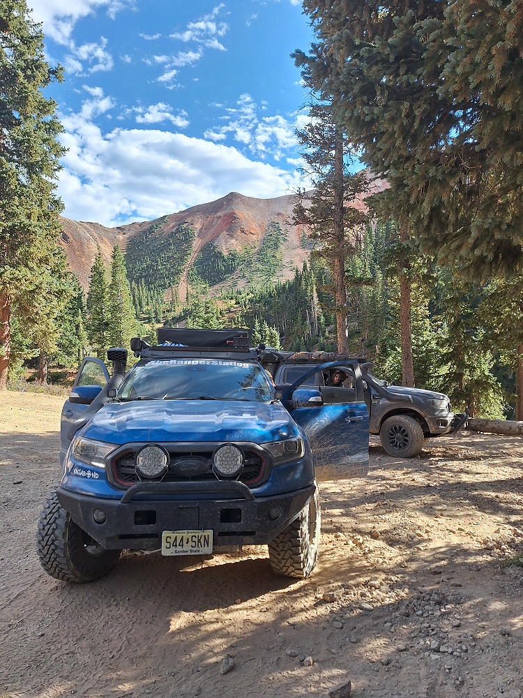
Climbing Cinnamon Pass
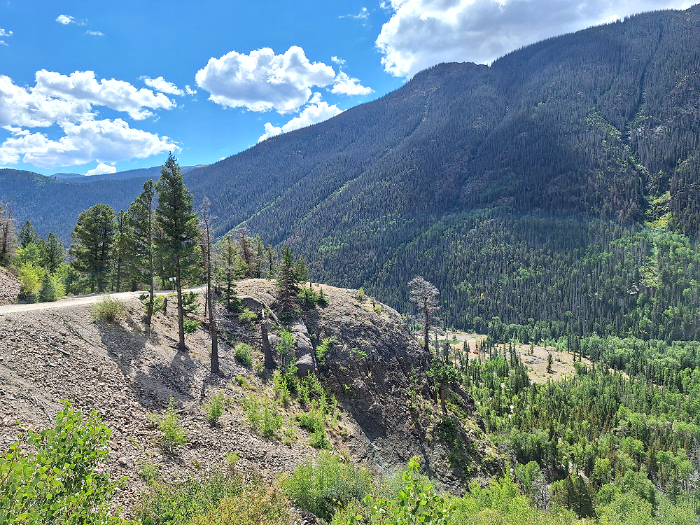
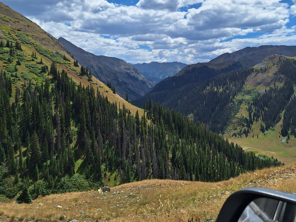
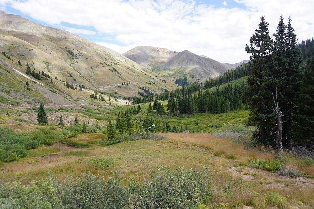
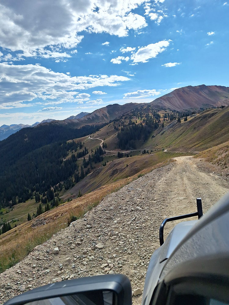
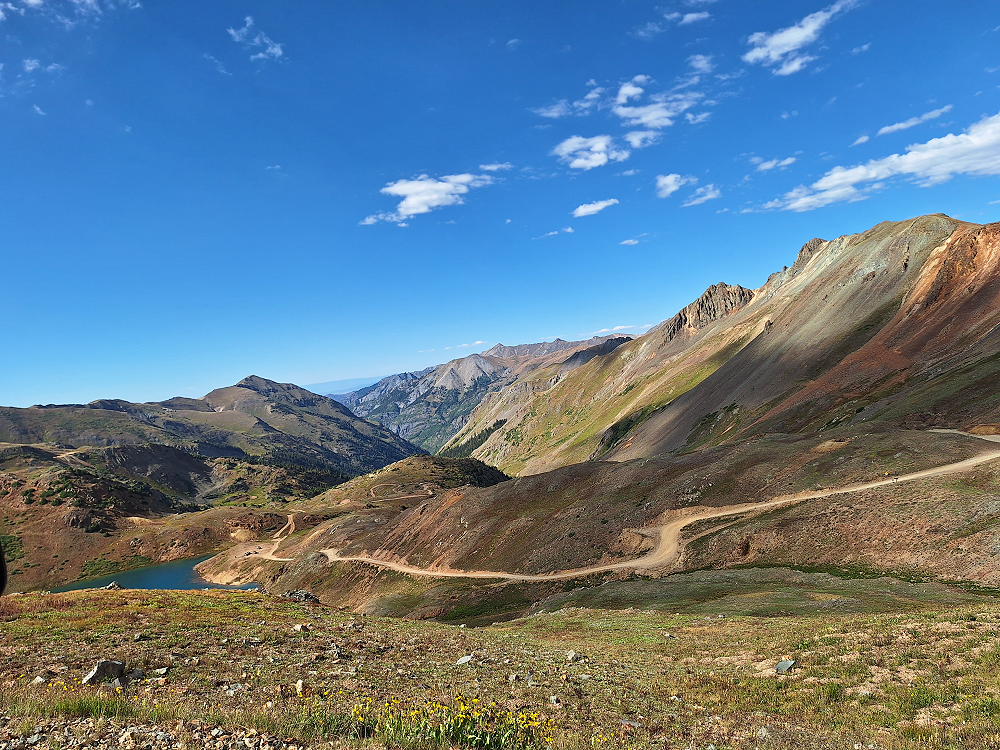
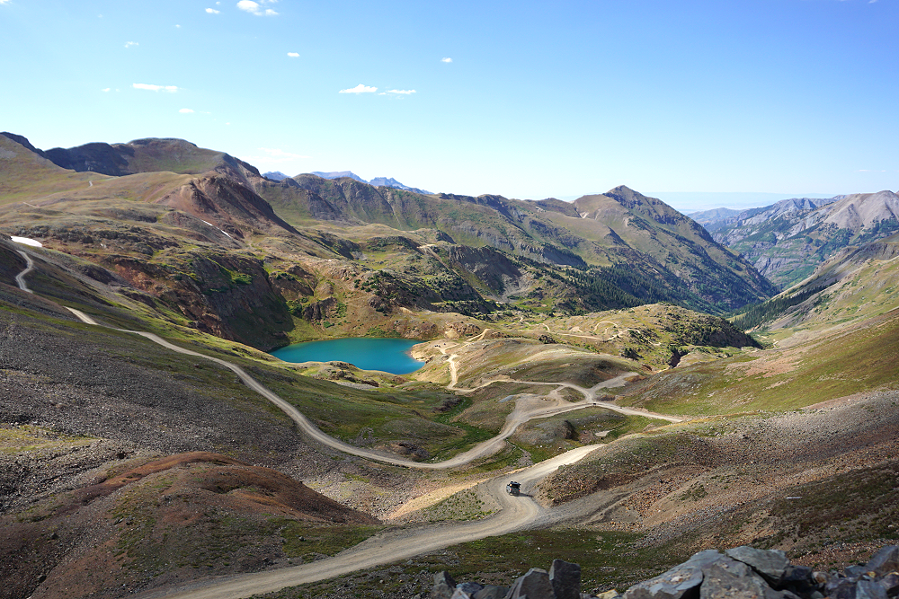
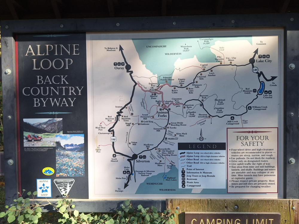
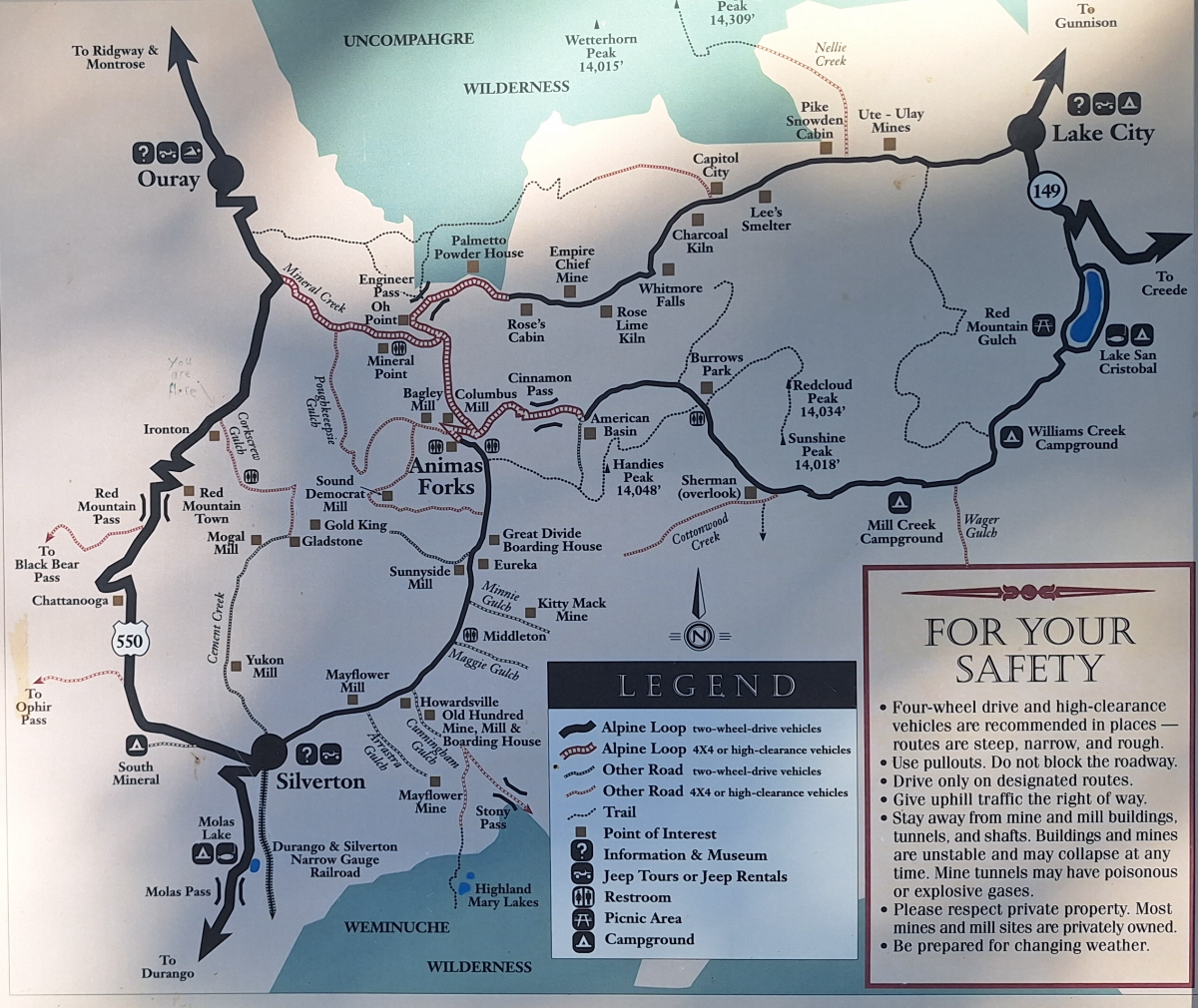
We turned on to Cinnamon Pass Road and followed it past the beautiful Lake San Cristobal. The road is paved here but the pavement eventually ends as you head out over the mountain. Cinnamon Pass is part of the Alpine Loop, which also includes Engineer Pass. The loop is a 65-mile system of unpaved roads that connects the small mountain towns of Lake City, Ouray, and Silverton.
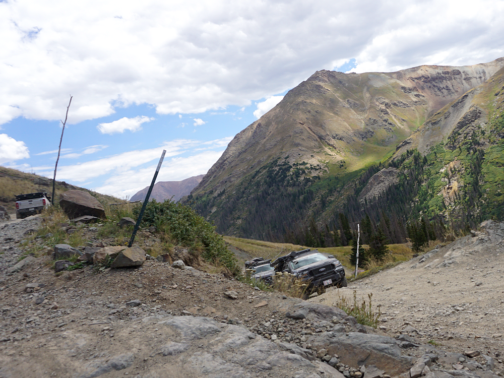
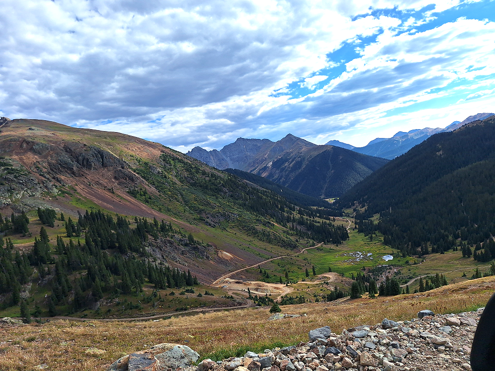
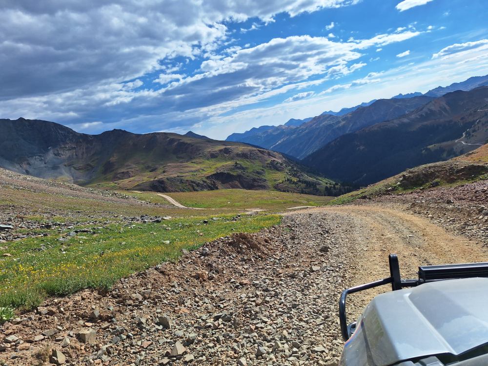
Cinnamon Pass is a scenic and beautiful road across the San Juan Mountains and is only opened during the summer months. It is a very rough road with steep grades and sharp switchbacks that should only be traversed by a high-clearance 4×4.
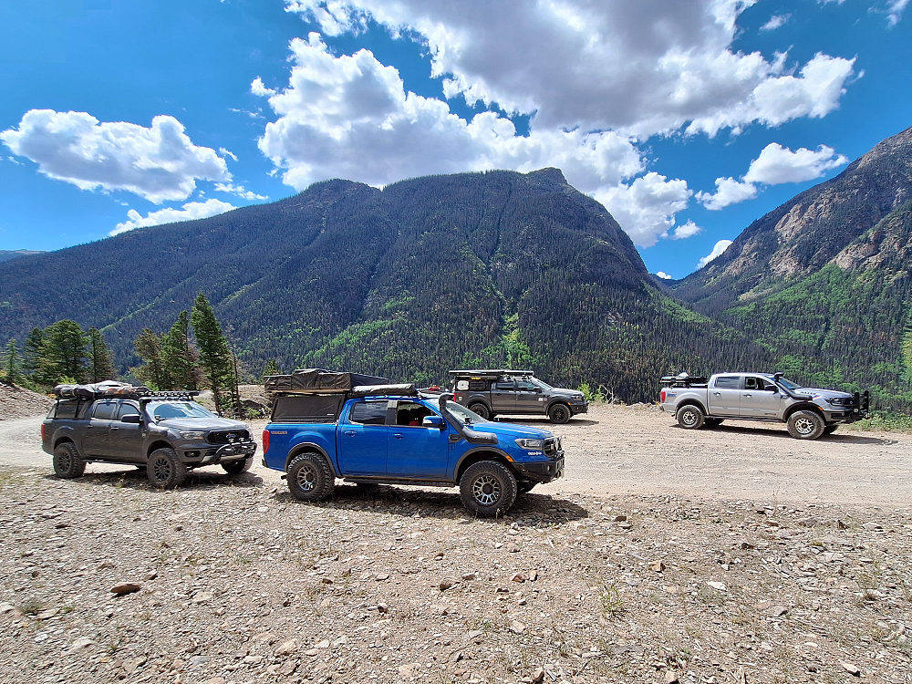
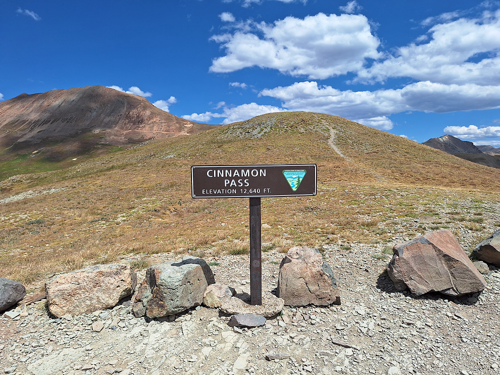
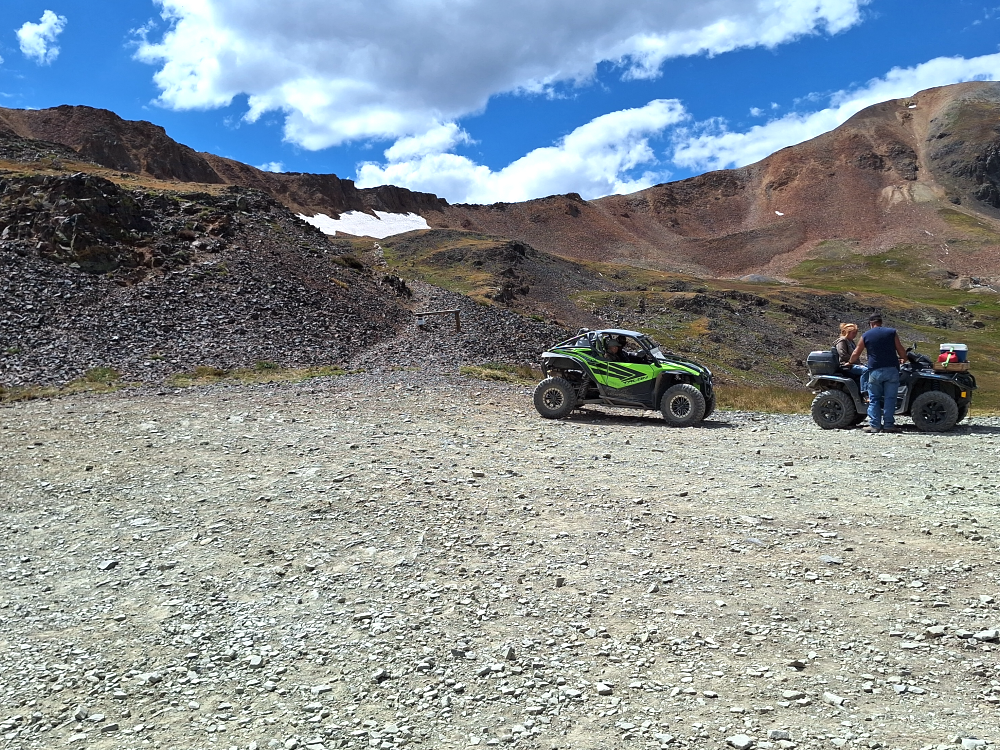
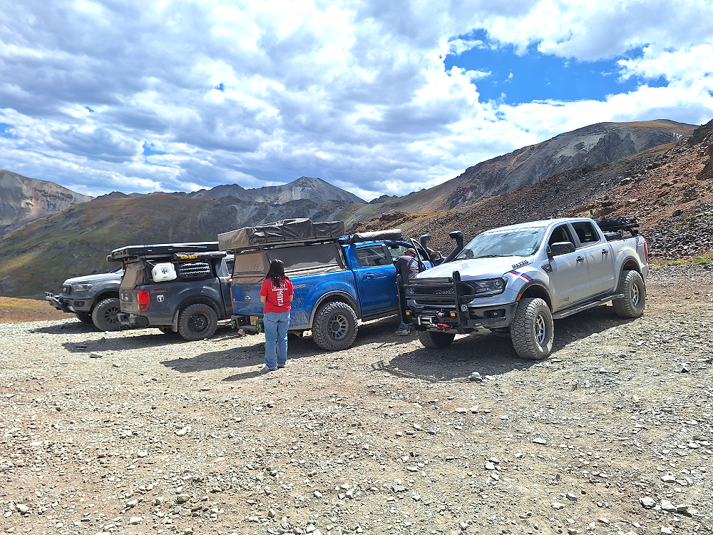
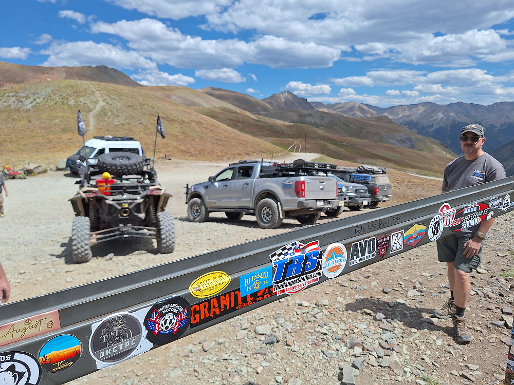
Arriving at the summit of Cinnamon Pass is 12,640 feet. We stopped to enjoy the view, relax for a bit, and have lunch. There are still some areas of snow up here, which seems bizarre to see in the middle of August.

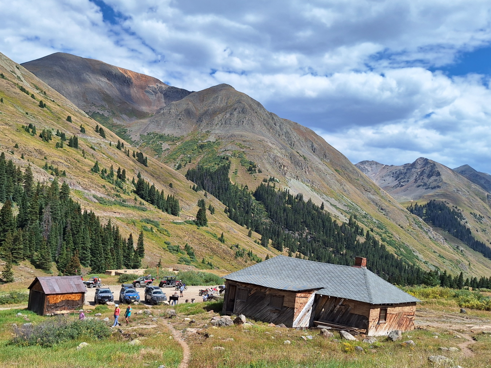
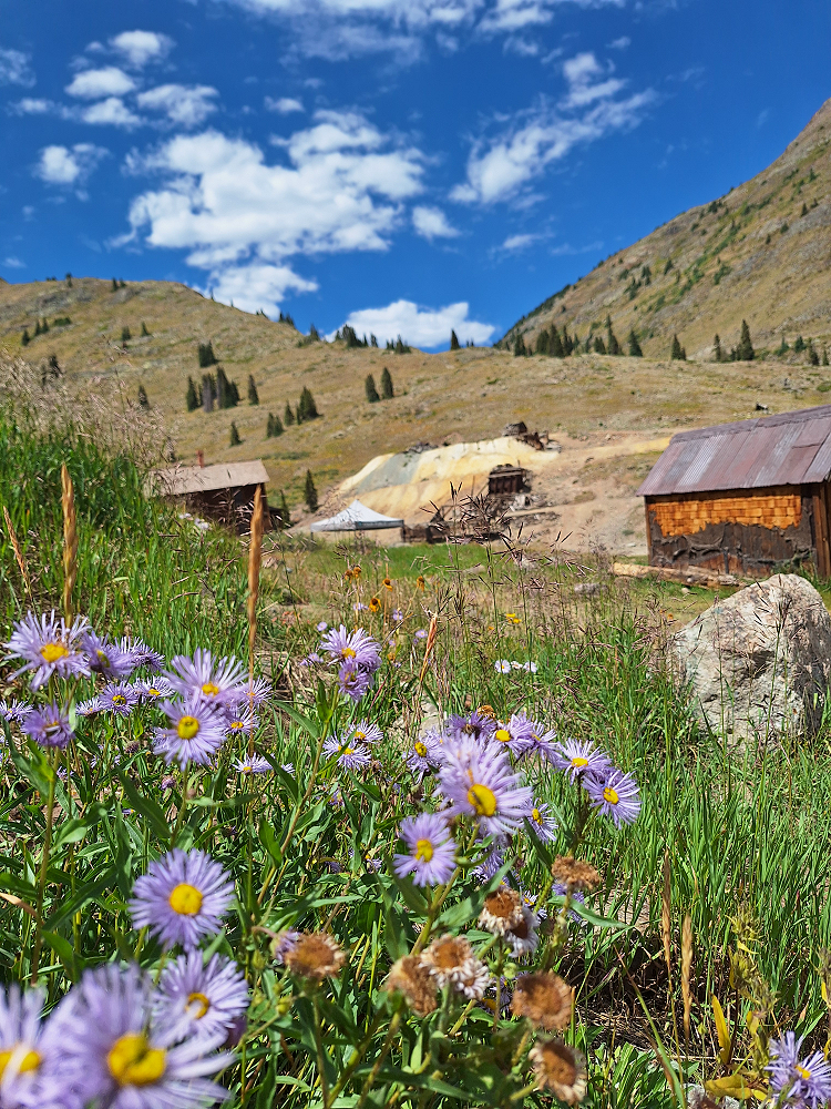
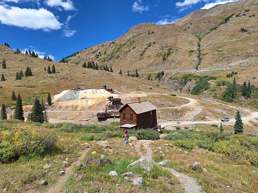
Animas Forks – A Ghost Town
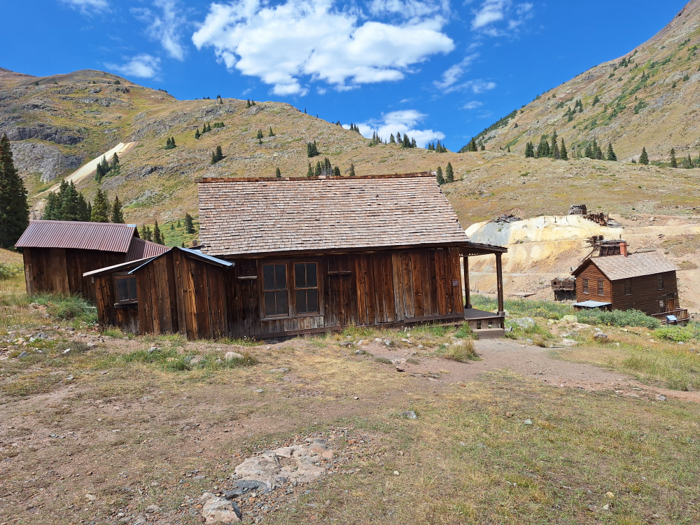
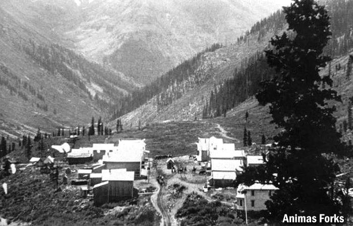
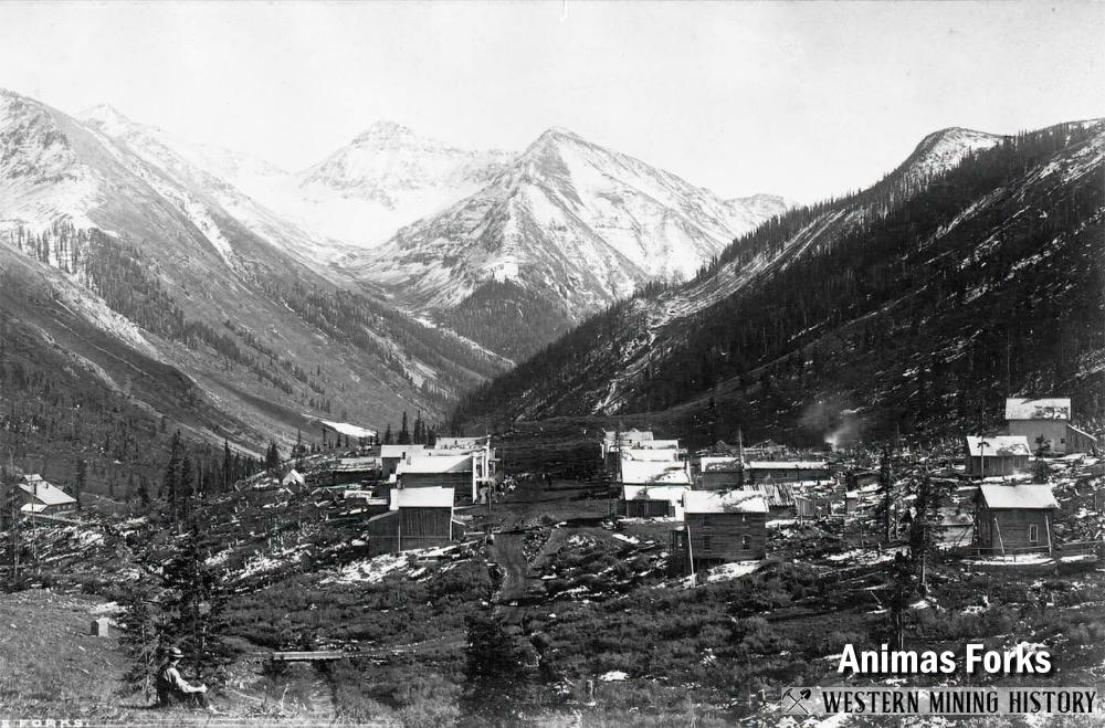
From here we continued west to the ghost town of Animas Forks. Animas Forks is an extinct mining town located 12 miles northeast of Silverton in San Juan County, Colorado. At an elevation of 11,185 feet, Animas Forks is one of the highest mining camps in North America. The town’s first log cabin was built in 1873, and the Animas Forks, Colorado Territory, post office opened on February 8, 1875. By the time of statehood in 1876, the community had become a bustling mining community with 30 cabins, a hotel, a general store, and a saloon. By 1883, 450 people lived in Animas Forks, and in 1882 a newspaper, the Animas Forks Pioneer, began publication and lasted until October 1886.
Every fall the residents of Animas Forks migrated together to the town of Silverton. In 1884 a 23-day blizzard inundated Animas Forks with 25 feet of snow; the residents had to dig tunnels to get from building to building. Mining, speculation, and processing mills helped Animas Forks grow.
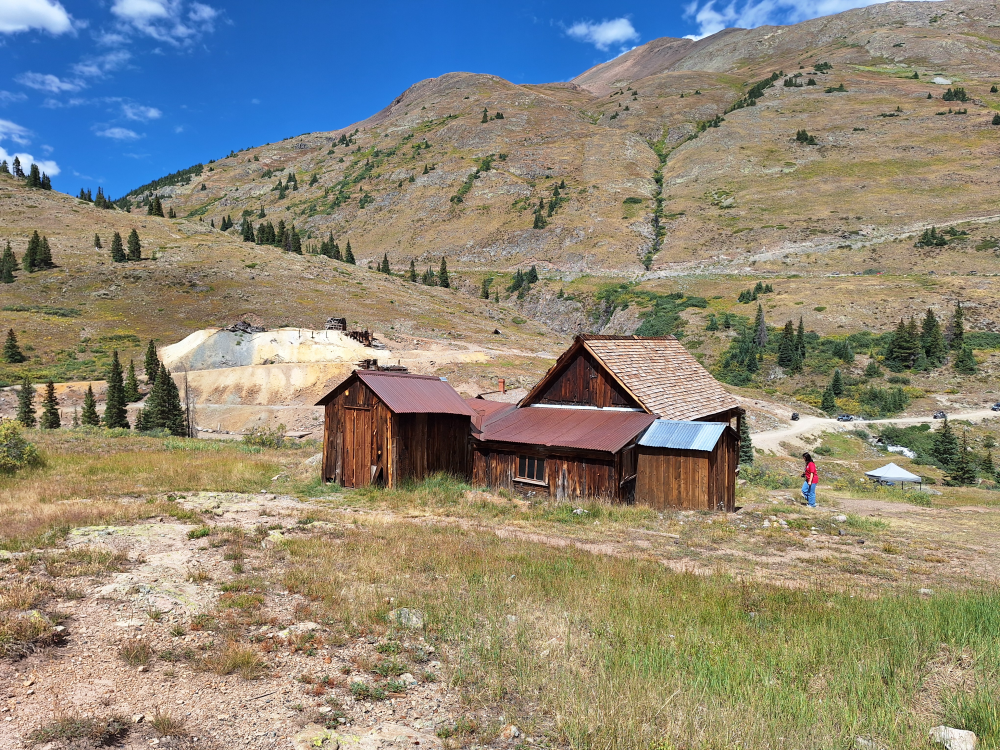
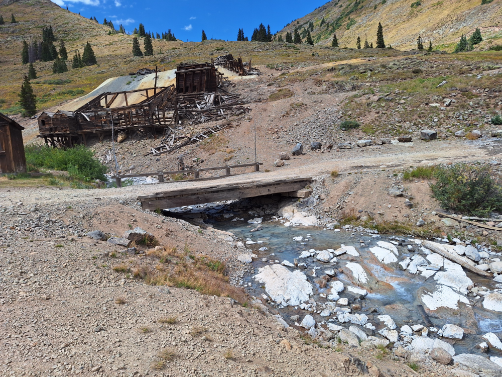
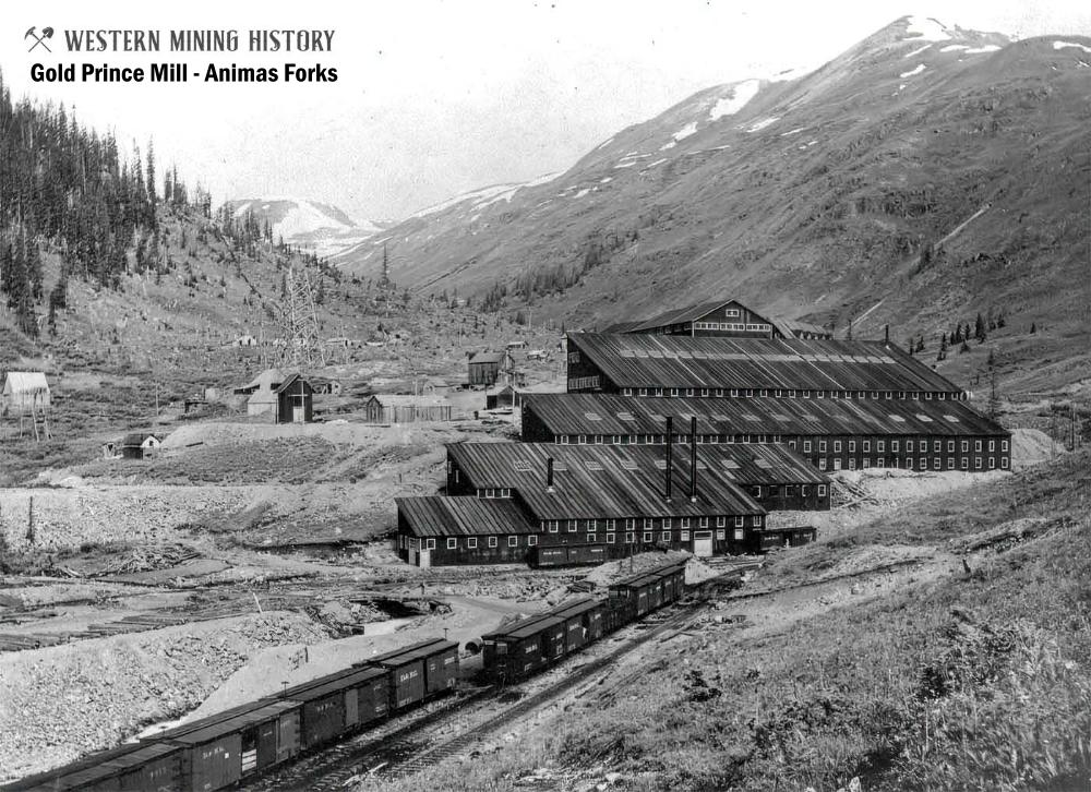
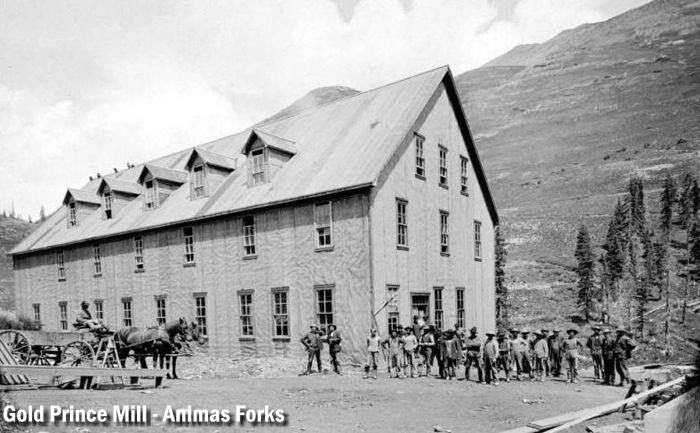
When mining profits began to decline, investment in Animas Forks was no longer justified. Although mining made a brief 1904 rebound with the construction of the Gold Prince Mill, the town’s mining days were nearing an end. The Silverton Northern Railroad built to the area in 1896 and stimulated interest in mining again, but the railroad never reached expectations. The Gold Prince Mill closed in 1910, and the Animas Forks post office closed on November 30, 1915. By 1917 most of the mill’s major parts were removed for a new facility in Eureka. As you come down the hill from Cinnamon Pass you can still see the foundations of the old mill. The mill’s dismantling signaled the beginning of the end for Animas Forks. The town was a ghost town by the 1920s.
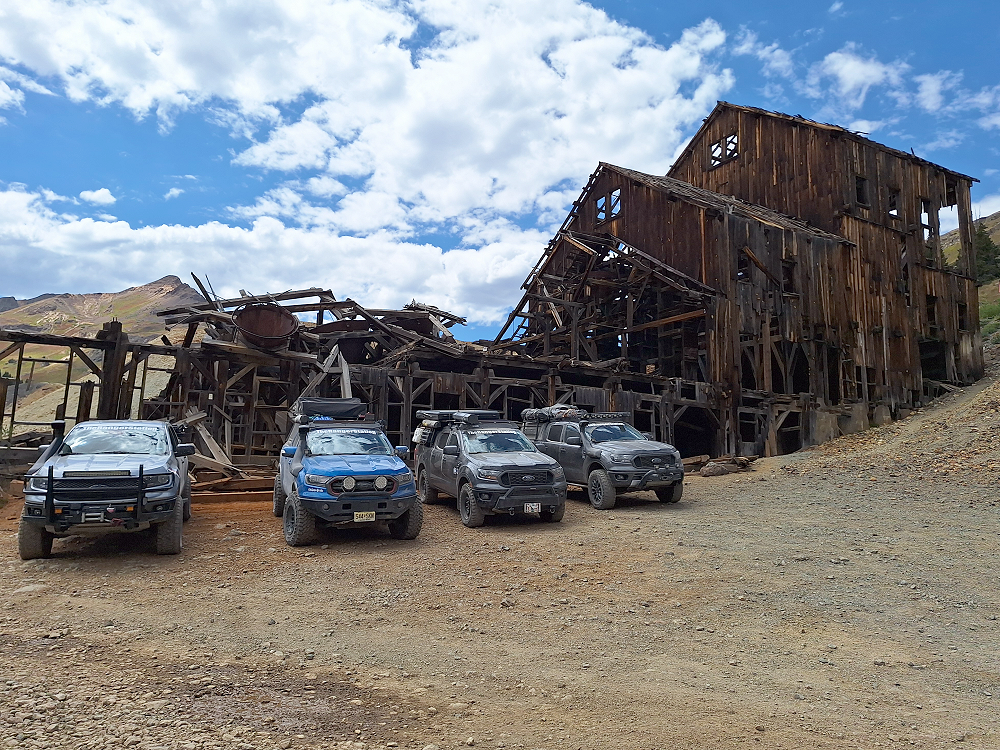
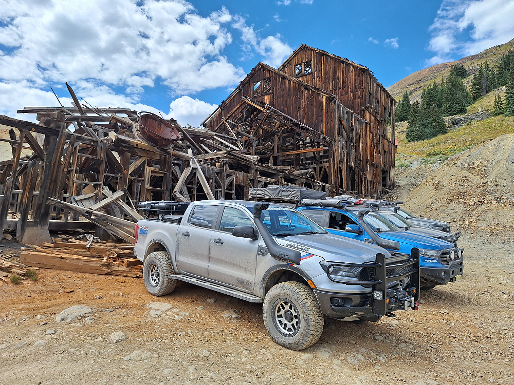
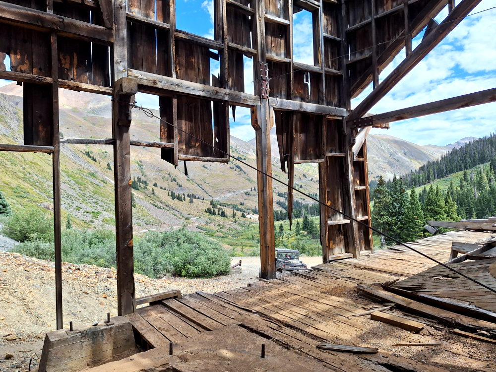
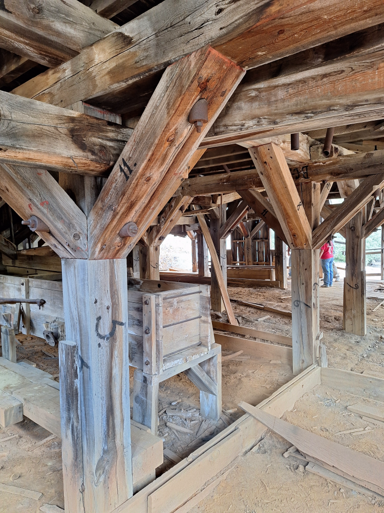
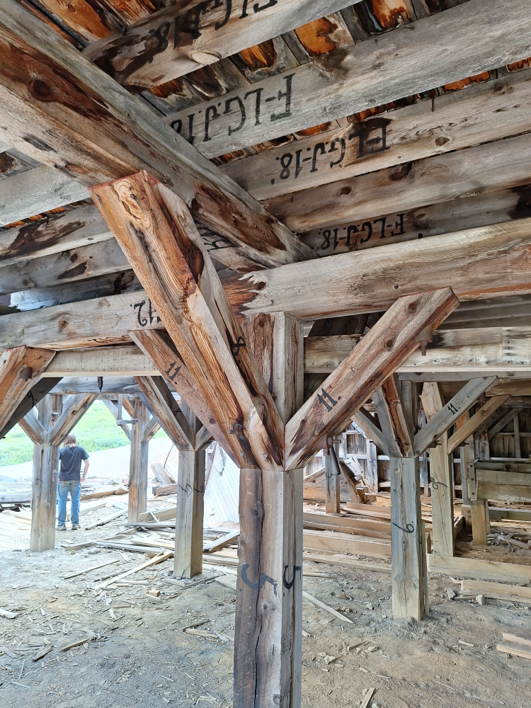
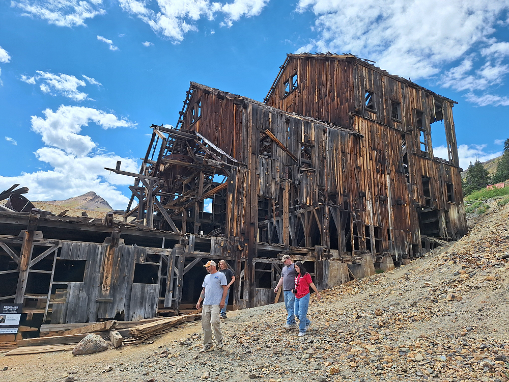
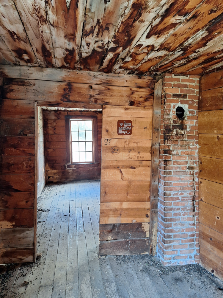
The biggest and most impressive structure at Animas Forks is the Frisco-Bagley Mill. Constructed in 1912, the Frisco-Bagley Mill is a rare example of a prefabricated early 1900s concentration mill in northern San Juan County. The mill’s structural components were pre-cut, pre-fit, and number/letter coded in Silverton and then transported to the site for assembly. To reduce operation costs, the majority of the milling equipment was installed on a single level and sheltered by a gable-roof superstructure. Concentration mills that retain a significant portion of their superstructure are rare in northern San Juan County, and the Frisco-Bagley is the only known example of this design variation.
We had gone to the Frisco-Bagley Mill before exploring the rest of the town. When we got in our trucks to leave the mill, my truck was completely dead. When I turned the key, nothing happened. No noise, no nothing. The headlights didn’t even come on when I turned the switch. When we got here, we had all backed into the places where we parked. I had backed in and stopped and shut the truck off while it was still in reverse. I didn’t realize it until Kevin was backing in next to me and I heard my backup sensor start alerting me to an object. That’s when I realized I was in reverse and stuck it in park. I briefly thought to myself that this is going to cost a fortune to tow out of here, but I somehow knew we were going to find the problem and resolve it. We checked the voltage coming from the battery and there was plenty of power. My feeling was that it was a neutral safety switch type of issue. We disconnected the battery for 30 seconds and reattached it and all of the power came back.
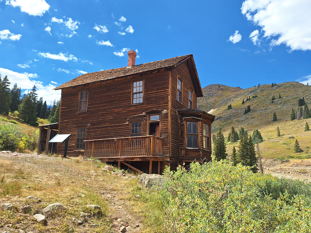
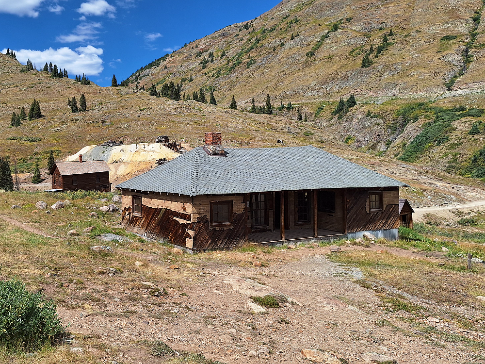
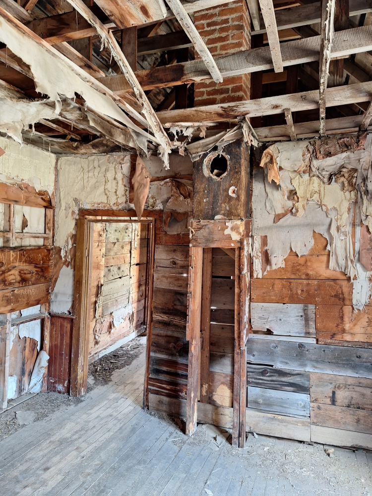
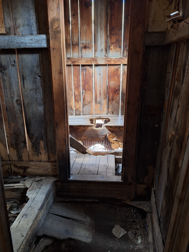
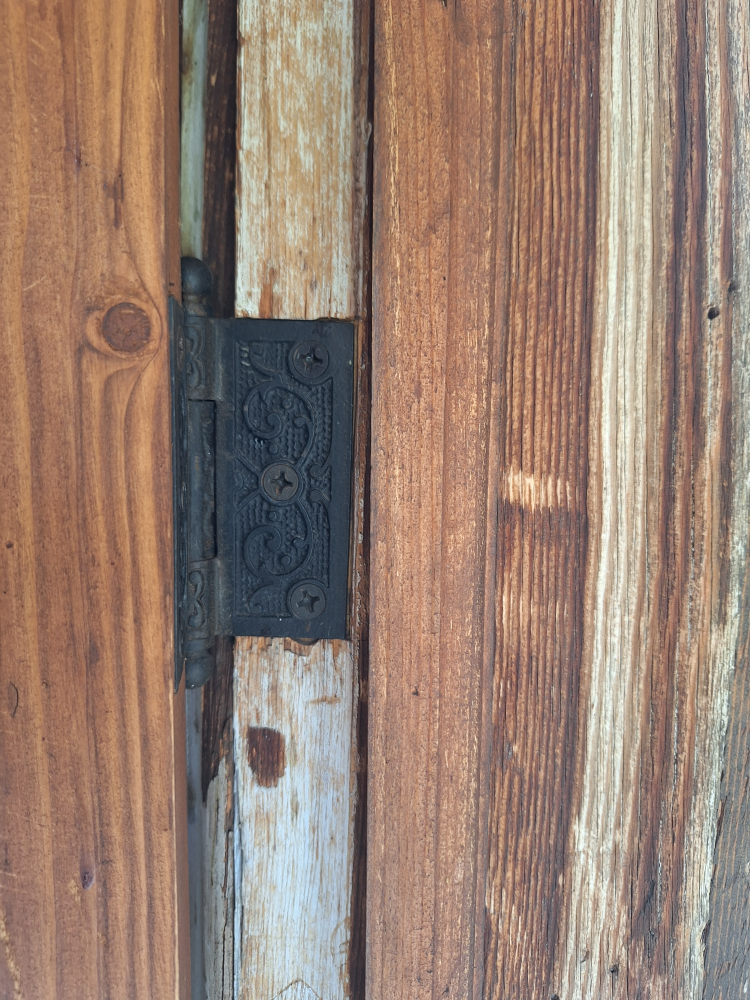
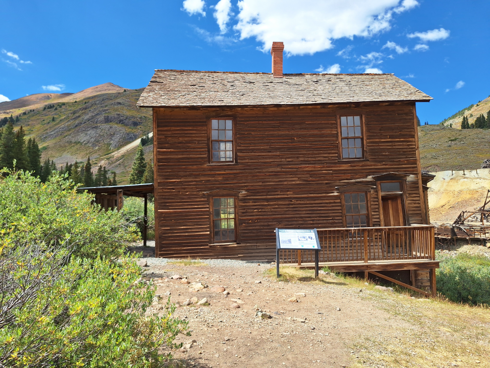
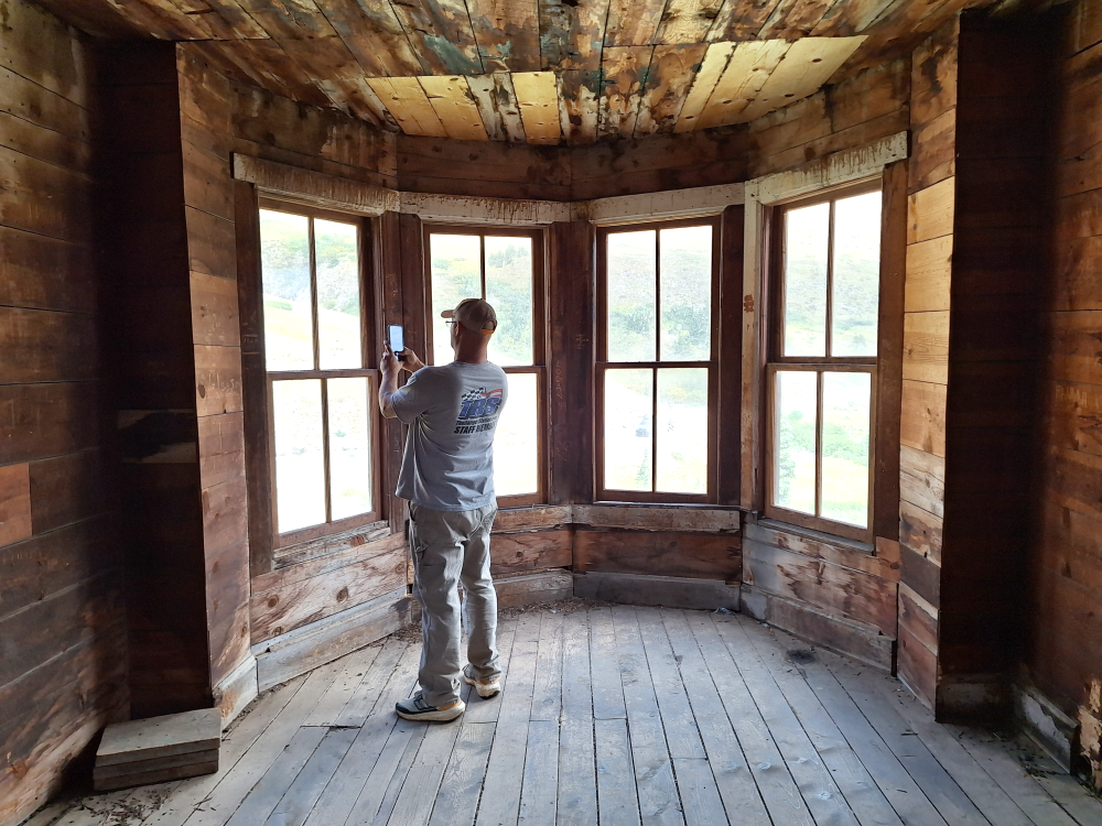
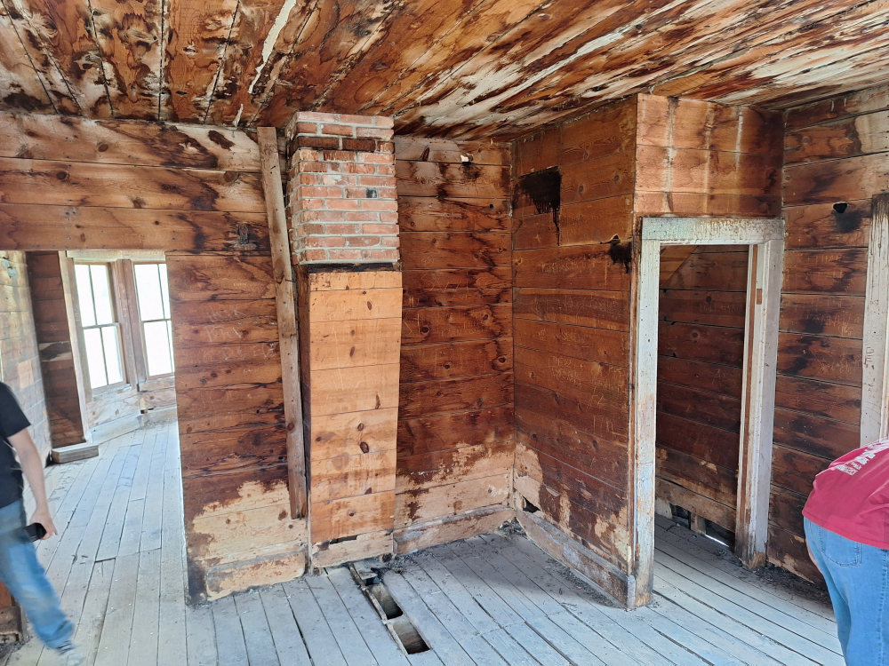
It’s amazing to come here and see buildings still standing roughly 150 years later, especially when you consider the harsh weather and the weight of heavy snow that the buildings are subjected to. Some of them are pretty rough and sadly work that was done to try and preserve them wasn’t done with materials that match the time period. It would have been nice if a sawmill would have cut the needed lumber instead of getting materials from a Home Depot type store. But at least the buildings are still here to appreciate the life that these people had. The Duncan House was by far the nicest house in town, built in 1879, and is still in remarkable condition today.
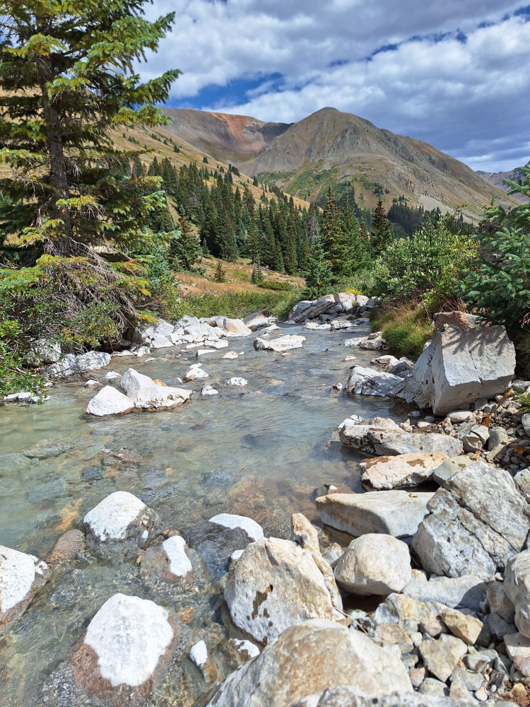
Another thing that caught my attention here is how white all of the rocks were in the Animas River. The rocks in the river appear white due to intense hydrothermal alteration (a geological process that occurs when hot, mineral-rich fluids interact with rocks and minerals, changing their physical and chemical properties), which bleaches the volcanic rocks. This alteration is a result of the intense heat and mineralization processes that occur in the area, leading to the formation of white precipitates from acidic, metal-rich waters. I couldn’t resist going down to the water, taking some photos, and grabbing a couple of rocks as a souvenir.


California, Hurricane, and Corkscrew Passes
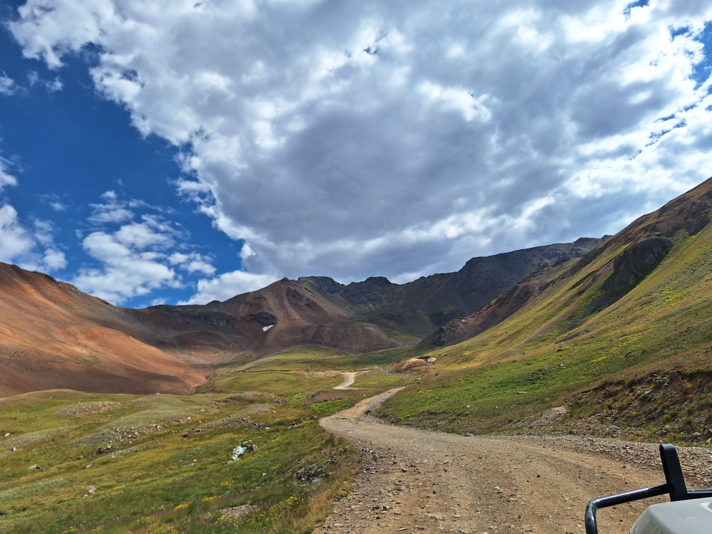
We eventually decided that it was time to leave and continue our trip to Ouray and hopefully find some campsites at the KOA campground. The California Gulch Road leads you west out of Animas Forks. You might think that you’ll be descending from here towards Silverton, but you would be wrong. This road leads to the summit of California Pass at 12,902 feet — 262 feet taller than the summit of Cinnamon Pass.
Just prior to reaching California Pass we stopped so Robbie could investigate a rattling sound from the front of his truck. What he found was a right-front broken sway bar link. He grabbed his toolkit, removed it, and we continued on.
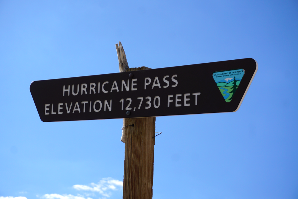
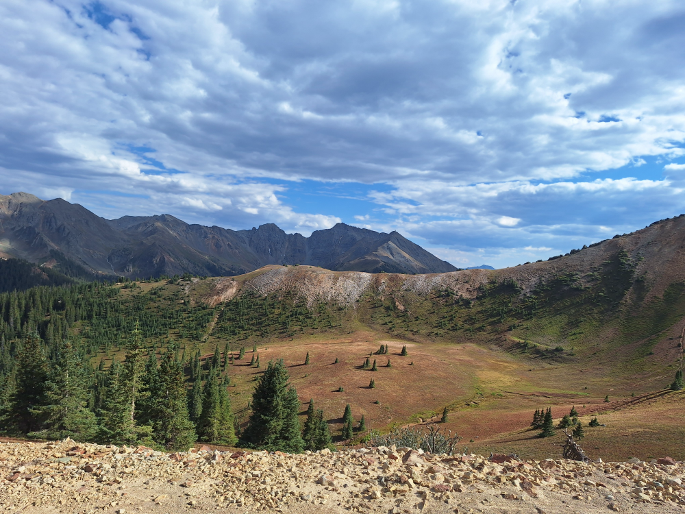
From California Gulch Road we took Hurricane Pass Road, which peaked at 12,707 feet, and then Corkscrew Gulch Road, which peaked at 12,244 feet at Corkscrew Pass. Corkscrew Gulch will eventually take you to US550 (the last 2/10 mile that connects to US550 is called Brown Mountain) between Silverton and Ouray. Surprisingly, it wasn’t Cinnamon Pass that had the nerve-wracking switchbacks and shelf road with steep drop-offs. It was actually the sections between California Pass and Corkscrew Pass.
After coming across Corkscrew Pass we stopped at a restroom and discussed the thrill we had coming down those steep cliffside switchbacks. They definitely make you stay very focused on the road, and it caused one of the members to have sweaty armpits. LOL. We joked about the location of the restroom and the possibility that someone might have to clean themselves after that drive.
While we didn’t necessarily need 4WD to get across these passes, we did discover that being in 4WD took some of the load off of the engine and reduced the engine temperature. We also discovered that being in 4WD low range coming down some of the long steep descents took some of the work off of the brakes to prevent them from overheating and fading. You definitely don’t want brake fade on trails like this. You’ll find yourself going over a cliff and possibly losing your life.


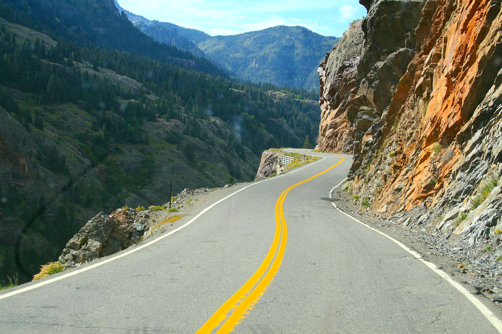
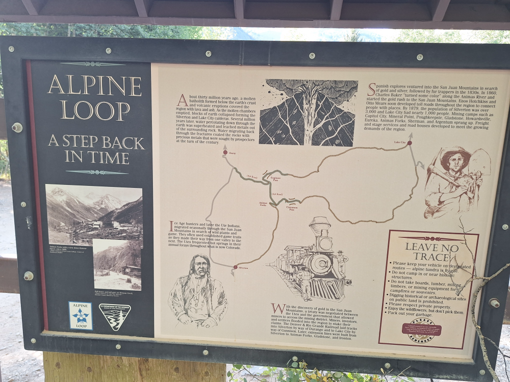
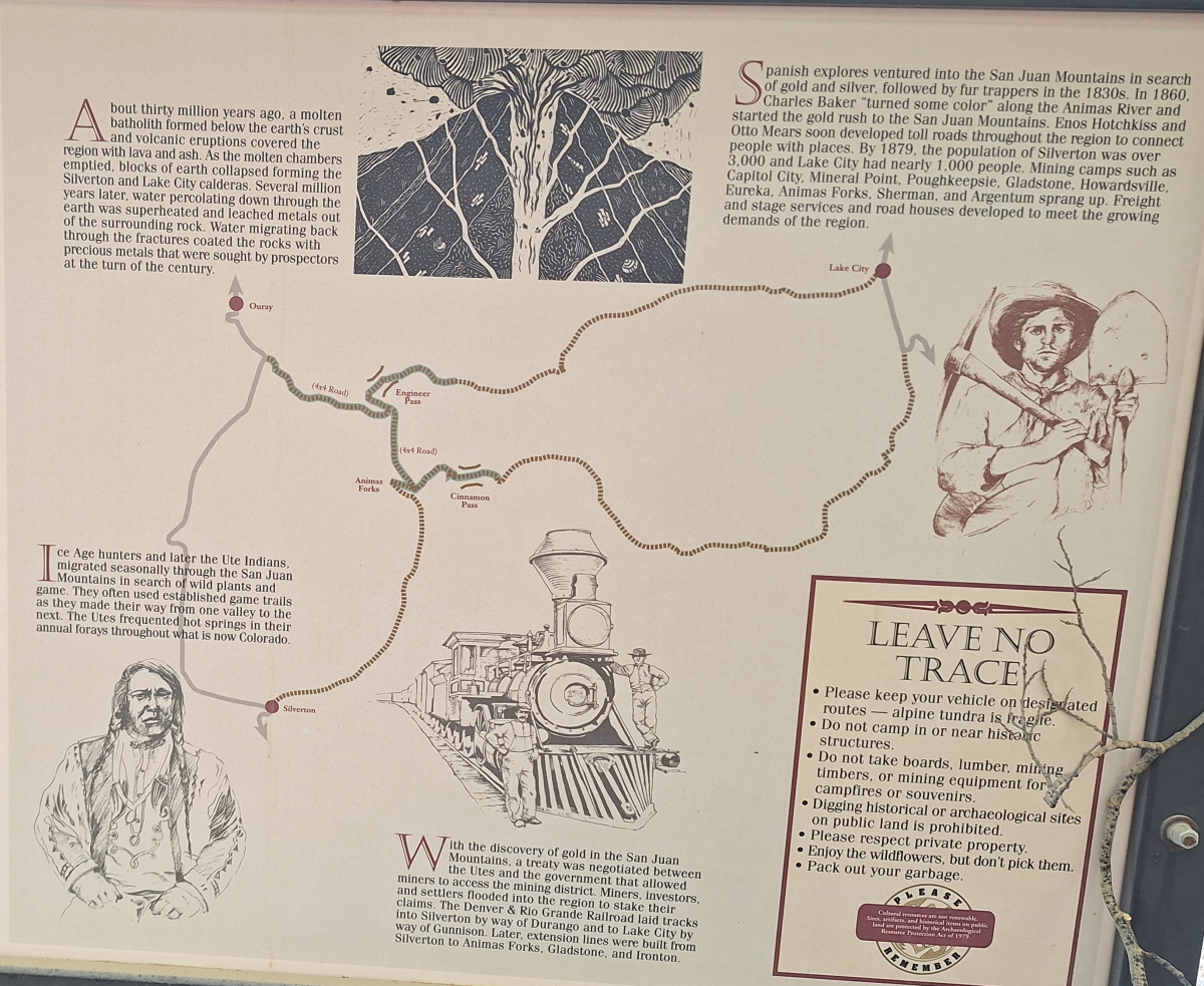
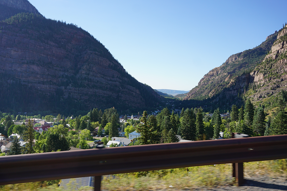
The Million Dollar Highway
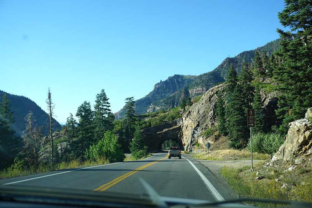
We finally got to the end of our trail and stopped to check out a sign and map about the Alpine Loop before hitting US550. Having reached US550, we headed north towards the town of Ouray. The last 12 miles of US550 before you get to Ouray is called the Million Dollar Highway. This stretch through the gorge is challenging and potentially hazardous to drive; it is characterized by steep cliffs, narrow lanes, and a lack of guardrails. The origin of the name Million Dollar Highway is disputed. There are several legends, though, including that it cost a million dollars a mile to build in the 1920s, and that its fill dirt contains a million dollars in gold ore.
You also pass through an avalanche chute south of Ouray. This area is prone to avalanches, and the chute helps funnel it over the roadway to keep the road open.
Reuniting at Ouray- The Return of Eric!
Finally arriving at the KOA Campground in Ouray, we discovered that the office was closed. As we started to figure out what to do and who to call, one of the guys found a container by the front door for after-hours check-ins, and it had envelopes in it with all of our names on them — including Eric’s. Eric knew that our course would be bringing us to the KOA, so being the true friend that he is, he reserved us all spots next to his.
After setting up camp and getting dinner, we were all glad to be able to get a warm shower. Our last shower had been two days ago back at the campground in La Veta. It was nice to finally have the whole group together, and we ended the day not really knowing what tomorrow would have in store for us. But that’s the way I like it. I prefer to figure it out as we go and make it a true adventure.
Video:
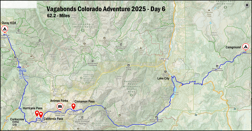
Vagabonds Colorado Adventure 2025 – Day Six Map:
Check Out:
The Adventure Begins – Forum Discussion
Vagabonds Colorado Adventure 2025 – Day One & Two
Vagabonds Colorado Adventure 2025 – Day Three & Four
Vagabonds Colorado Adventure 2025 – Day Five
Vagabonds Colorado Adventure 2025 – Day Seven
Vagabonds Colorado Adventure 2025 – Day Eight
About The Author
Jim Oaks is the founder of TheRangerStation.com, the longest-running Ford Ranger resource online since 1999. With over 25 years of hands-on experience building and modifying Ford Rangers — including magazine-featured builds like Project Transformer — Jim has become one of the most trusted authorities in the Ford Ranger off-road and enthusiast space.
Since launching TheRangerStation.com, Jim has documented thousands of real-world Ranger builds, technical repairs, drivetrain swaps, suspension modifications, and off-road adventures contributed by owners worldwide. TheRangerStation.com has been referenced in print, video and online by enthusiasts, mechanics, and off-road builders looking for practical, and experience-based information.